
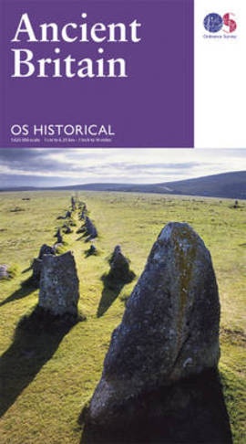
Wegenkaart - landkaart Ancient Britain | Ordnance Survey (9780319263242)
- ISBN / CODE: 9780319263242
- Schaal: 1:625000
- Uitgever: Ordnance Survey
- Soort: Wegenkaart
- Serie: OS Historical
- Taal: Engels
- Schrijf als eerste een review
-
€ 12,95
Op voorraad. Voor 17.00 uur op werkdagen besteld, morgen in huis in Nederland Levertijd Belgie
Gratis verzending in Nederland vanaf €35,-
Beschrijving
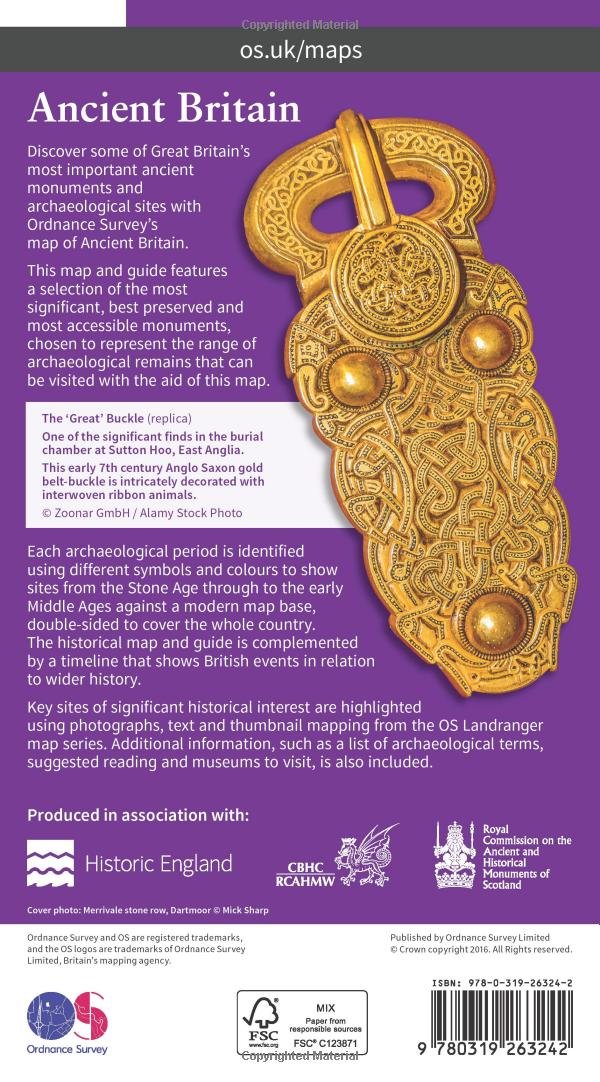
The Ordnance Survey Ancient Britain map is a comprehensive guide to the most important archaeological sites of early English, Welsh and Scottish history.
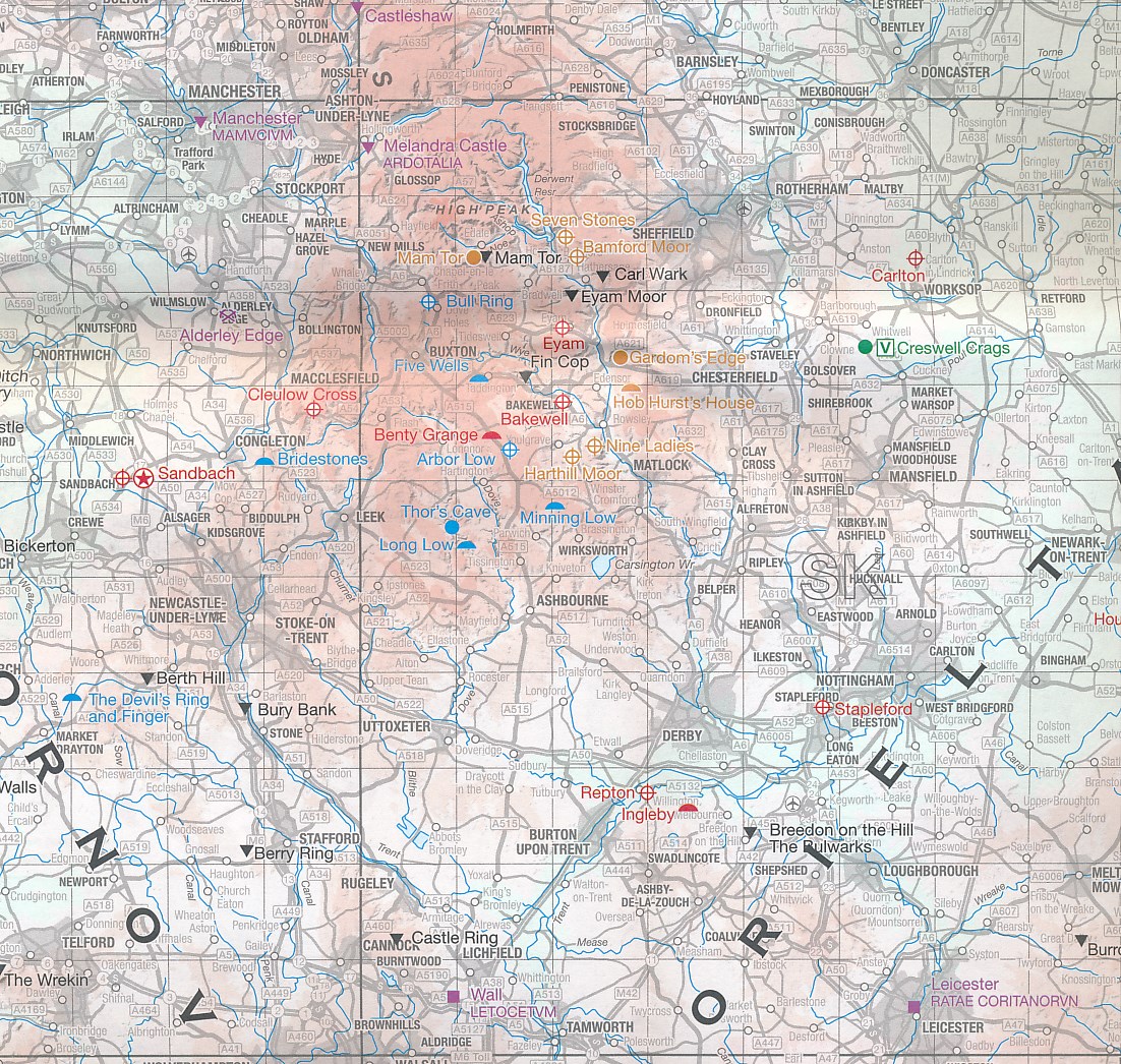
Ordnance Survey's Ancient Britain map shows Neolithic, Bronze Age, Iron Age, Roman and early Medieval sites – against a backdrop of modern mapping. This extract shows some of the ancient sites of Wiltshire marked on the map.
The secrets of Ancient Britain are to be revealed in a revised Historical map and guide from Ordnance Survey.
Aimed at anyone with an interest in the early history of Britain – from schoolchildren through to archaeologists and tourists – the map helps bring the past to life.
Information on the map includes ancient roads and place names – as well as comprehensive features and illustrations on many aspects of life in the period, including land use and settlement sites. Photographs, showing how many of the sites look today, are also used to give context.
The map is created in conjunction with The National Monuments Record of English Heritage, the Royal Commission on the Ancient and Historical Monuments of Scotland and the Royal Commission on the Ancient and Historical Monuments of Wales. It features the whole of Great Britain on a double-sided sheet and shows the detailed history of ancient Britain – including the Neolithic, Bronze Age, Iron Age, Roman and early Medieval periods – against a backdrop of modern Ordnance Survey mapping.
Reviews
Geen reviews gevonden voor dit product.
Schrijf een review
Graag horen wij wat u van dit artikel vindt. Vindt u het goed, leuk, mooi, slecht, lelijk, onbruikbaar of erg handig: schrijf gerust alles op! Het is niet alleen leuk om te doen maar u informeert andere klanten er ook nog mee!
Ook interessant voor europa/engeland
-

Woordenboek Language & Culture Briti
€ 8,50Woordenboeken & Taalgidsen Wales -

Fietsgids Wild Cycling | Little Brow
€ 18,50Fietsgidsen Wales -

Campinggids Tiny Campsites in Engela
€ 16,50Campinggidsen Wales -

Reisgids Wild Swimming Britain | Wil
€ 23,95Reisgidsen Engeland -

Wegenatlas Essential Road Atlas Brit
€ 20,95Wegenatlassen Engeland