
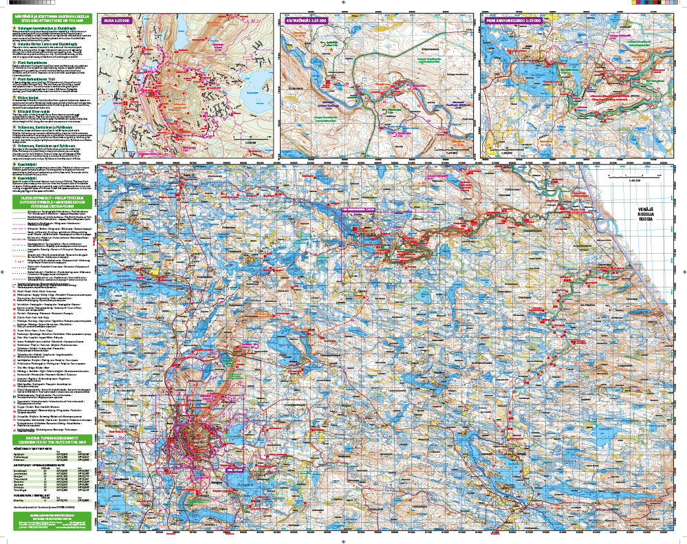
Wandelkaart Ruka Oulanka Karhunkierros | Karttakeskus (9789522666741)
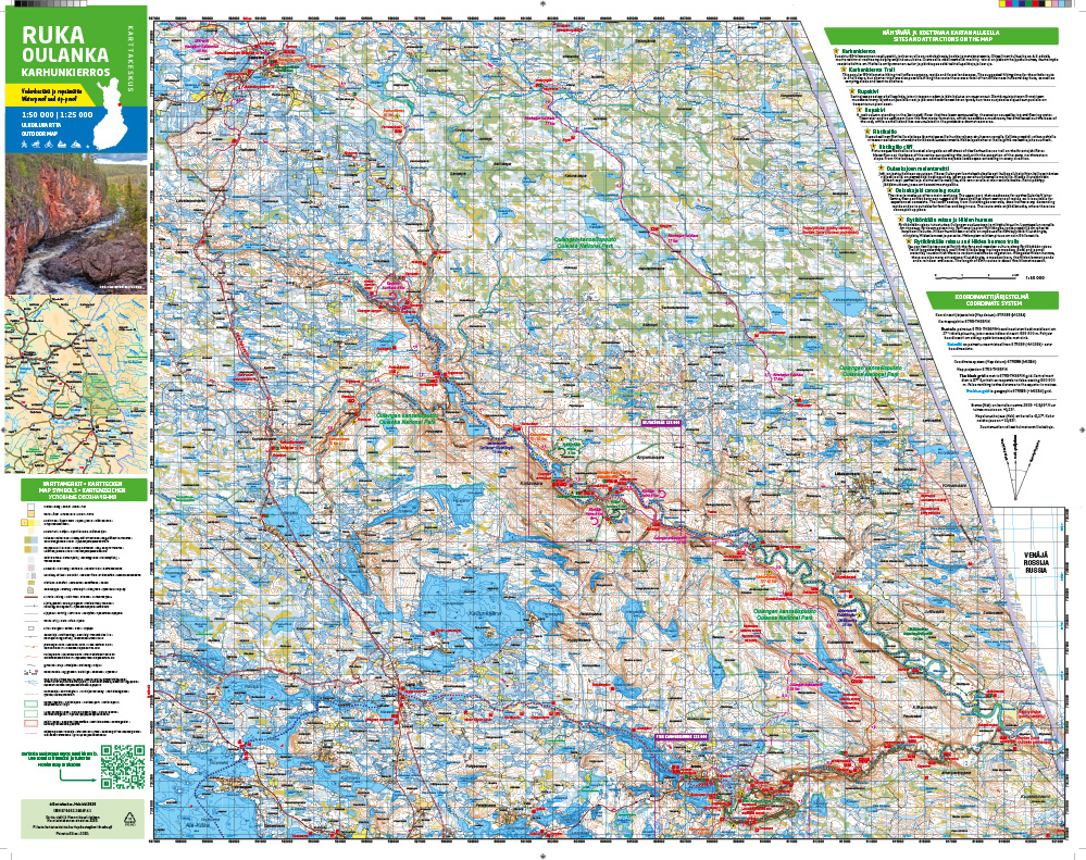
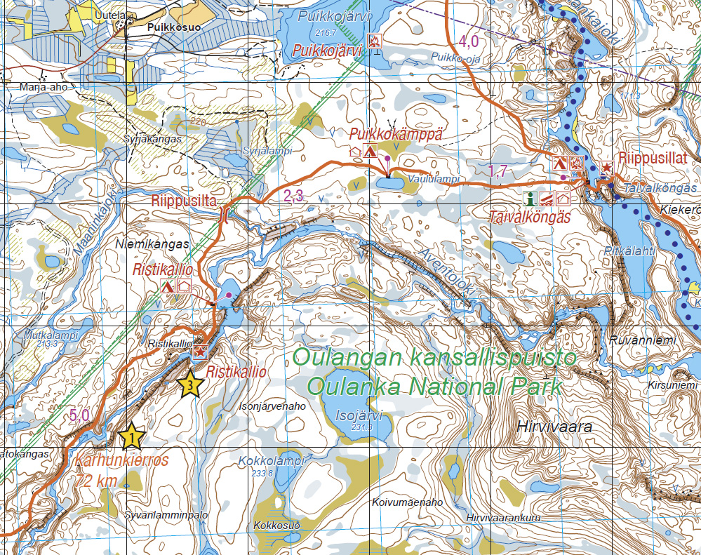
Het berenpad - Bear's Trail
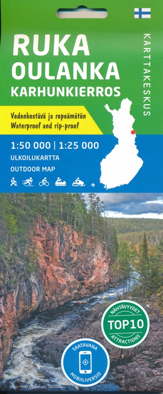
- ISBN / CODE: 9789522666741
- Editie: meest recente versie
- Schaal: 1:50000
- Uitgever: Karttakeskus
- Soort: Wandelkaart
- Taal: Engels
- Bindwijze: -
- Uitvoering: Scheur- en watervast
- Beoordeling: 5,0 ★★★★★ (1 review) Schrijf een review
-
€ 22,95
Op voorraad. Voor 17.00 uur op werkdagen besteld, morgen in huis in Nederland Levertijd Belgie
Gratis verzending in Nederland vanaf €35,-
Beschrijving
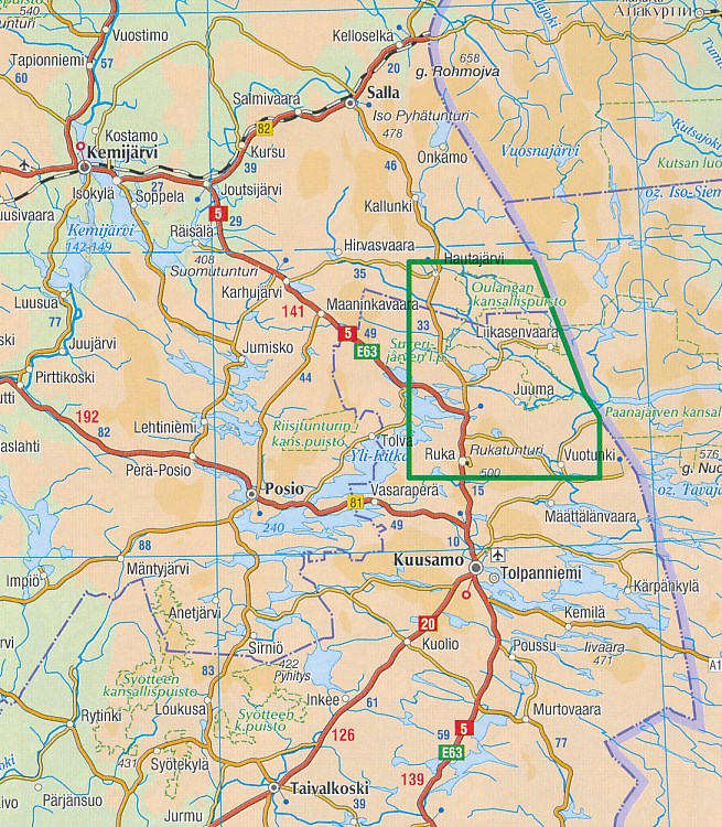
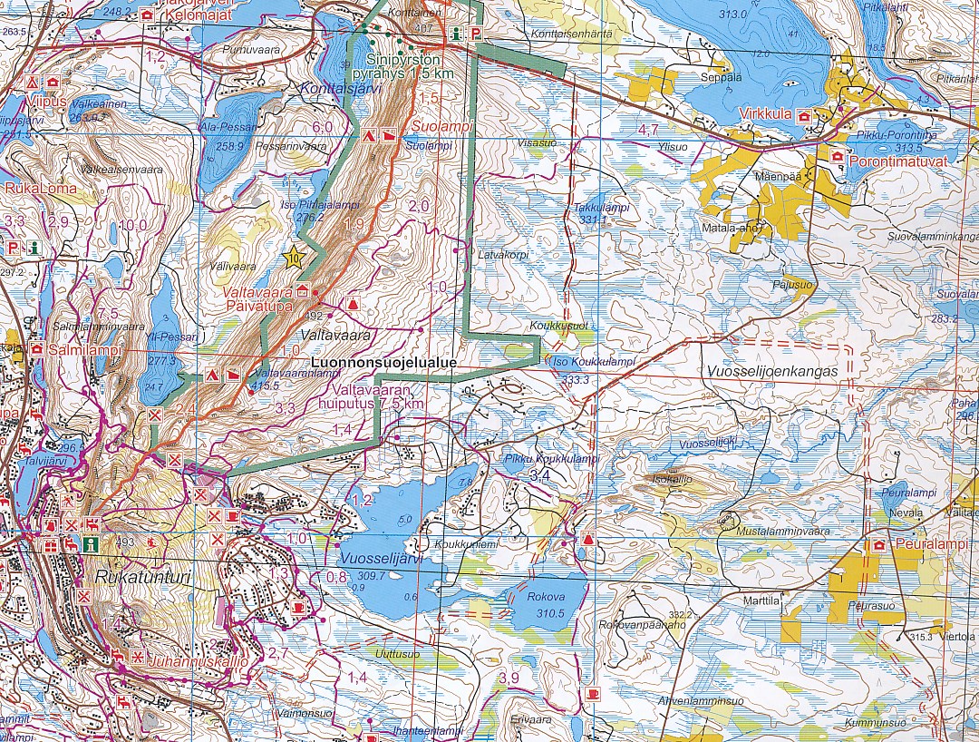
Prachtige wandelkaart van dit mooie, wilde natuurgebied in Noordoost Finland.
Reviews
Prima kaart. Heel handig voor wie de Karhunkierros gaat wandelen (of in die omgeving). Pluspunt: alle kampeerplaatsen en overnachtingen staan erop. Minpunt: Op een klein stukje was de kaart wat lastig te lezen/interpreteren.
★★★★★ door Alexander 12 augustus 2019Vond u dit een nuttige review? (login om te beoordelen)
Schrijf een review
Graag horen wij wat u van dit artikel vindt. Vindt u het goed, leuk, mooi, slecht, lelijk, onbruikbaar of erg handig: schrijf gerust alles op! Het is niet alleen leuk om te doen maar u informeert andere klanten er ook nog mee!
Ook interessant voor europa/finland/fins-lapland
-

Wandelkaart Turkart Syöte E10 UKK-Pa
€ 22,50Wandelkaarten Finland -

Wegenatlas GT Suomi - Finland tiekar
€ 44,95Wegenatlassen Finland -

Woordenboek Fast Talk Finnish | Lone
€ 6,50Woordenboeken & Taalgidsen Finland -

Wegenkaart - landkaart Etelä-Suomi |
€ 22,95Wegenkaarten Finland -

Fotoboek Northern lights of Finland
€ 23,95Fotoboeken Finland