Mandje Tel: +31503126950 Menu
Winkelwagen
Geen items in winkelwagen
Ga naar winkelwagen

Wegenkaart - landkaart Yemen - Jemen | Gizi Map (9786155010057)
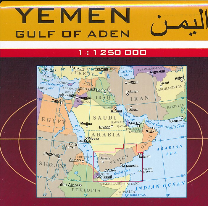
1:1.250.000

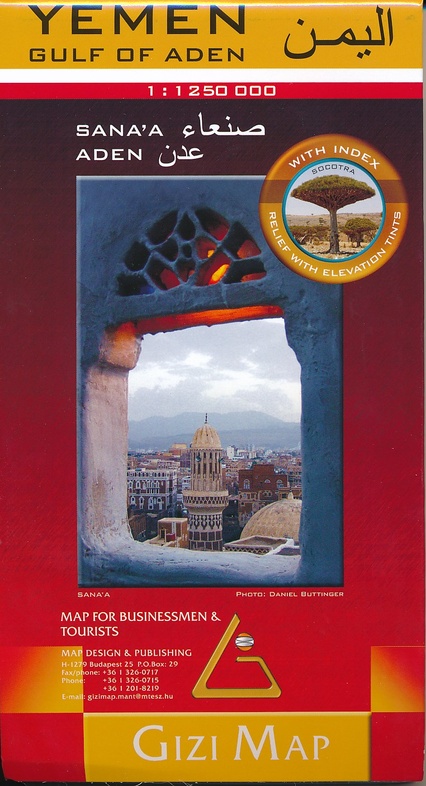
  • ISBN / CODE: 9786155010057
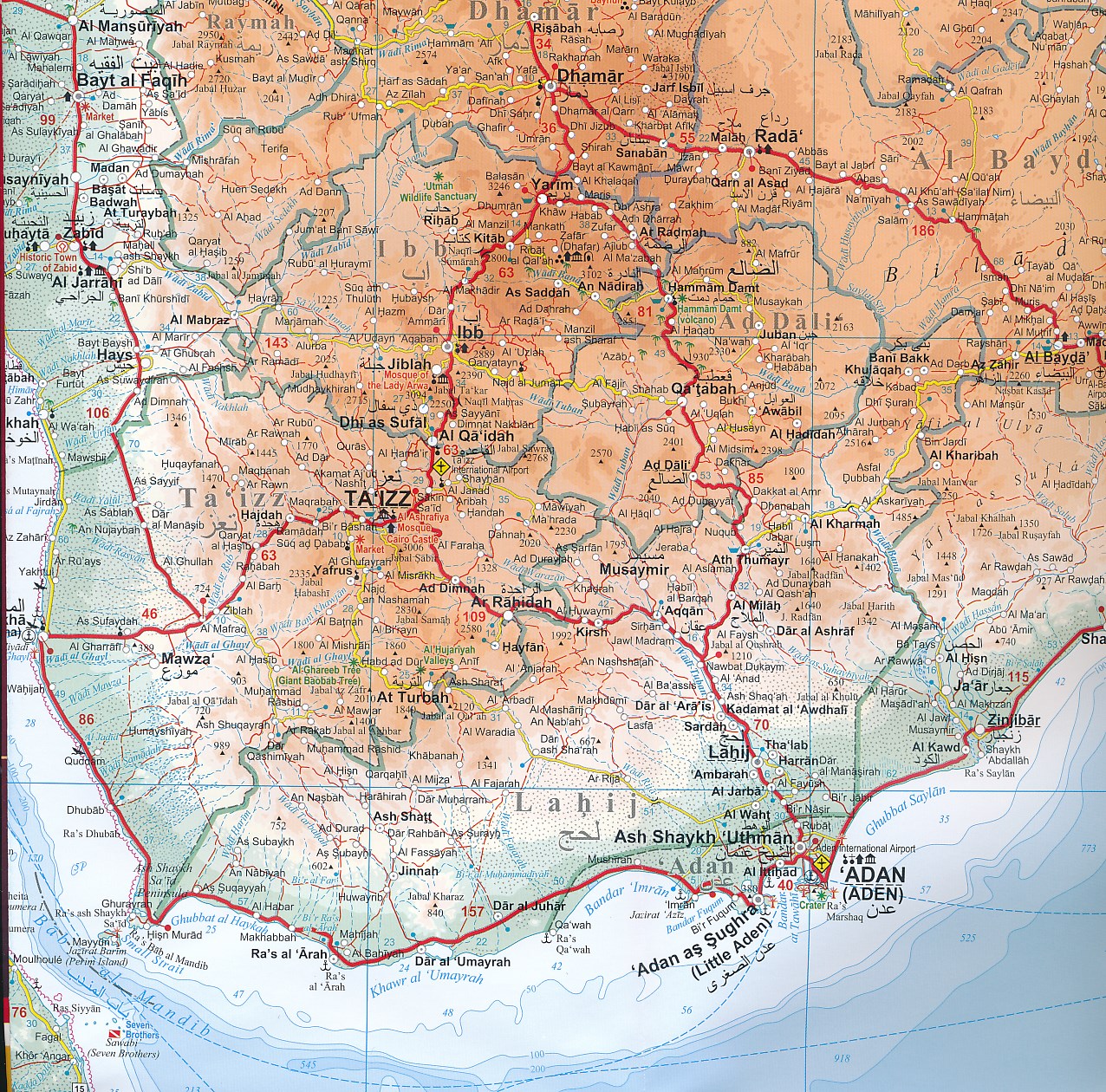
  • Schaal: 1:1250000
  • Uitgever: Gizi Map
  • Soort: Wegenkaart
  • Taal: Engels
  • Schrijf als eerste een review
  • 15,95

    Op voorraad. Binnen 2 - 3 werkdagen in huis in Belgie Levertijd Nederland Voor 17.00 uur op werkdagen besteld, morgen in huis in Nederland Levertijd Belgie

    Gratis verzending in Nederland vanaf €35,-

Beschrijving

Yemen, including the Gulf of Aden, at 1:1,250,000 on an excellent and informative map from Gizi Maps, with a street plan of central Sana’a and enlargements of the environs of the capital and Aden, plus the Aden Peninsula.
 
The map has the publisher’s characteristic bold altitude colouring and plenty of names of various mountain chains, peaks, deserts, etc. Graphics indicate swamps, salt flats, wadis, deserts, lava flows, water wells, oasis, etc, to provide a vivid picture of the country’s topography. Names of the larger towns, provinces and many geographical features are given in both Latin and Arabic alphabets; all other place names are shown only transliterated.
 
Coverage extends southward to the northern coastline of the Horn of Africa, including the whole of Djibouti and most of Eritrea. Within the Gulf of Aden the Internationally Recommended Transit Corridor (IRTC) is marked, as well as other ferry and shipping routes including those leading to the Socotra Archipelago and in the southern part of the Red Sea.
 
The map shows the country’s road network, including desert tracks, indicating distances on main routes and locations of border crossings to Oman and Saudi Arabia. Local airports are marked, as well as internal administrative boundaries with names of the provinces, plus oil or gas wells. Symbols highlight various places of tourist interest. The map has latitude and longitude lines at intervals of 1°. The index is next to the map. Map legend includes English.
 
Also provided are a street plan of central Sana’a, plus enlargements of the environs of the capital, the environs of Aden (Adan) area including Little Aden, and the Aden Peninsula itself. All are annotated with various facilities and places of interest.

Reviews

Geen reviews gevonden voor dit product.

Schrijf een review

Graag horen wij wat u van dit artikel vindt. Vindt u het goed, leuk, mooi, slecht, lelijk, onbruikbaar of erg handig: schrijf gerust alles op! Het is niet alleen leuk om te doen maar u informeert andere klanten er ook nog mee!