
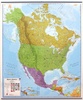
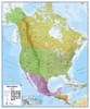
Wandkaart Noord Amerika, politiek, 100 x 120 cm | Maps International (9781904892045)
geplastificeerd
- ISBN / CODE: 9781904892045
- Schaal: 1:7000000
- Uitgever: Maps International
- Soort: Wandkaart van een land
- Taal: Engels
- Hoogte: 120.0 cm
- Breedte: 100.0 cm
- Cartografie: politiek
- Uitvoering: Geplastificeerd
- Schrijf als eerste een review
-
€ 38,95
Op voorraad. Voor 17.00 uur op werkdagen besteld, morgen in huis in Nederland Levertijd Belgie
Gratis verzending in Nederland vanaf €35,-


Beschrijving
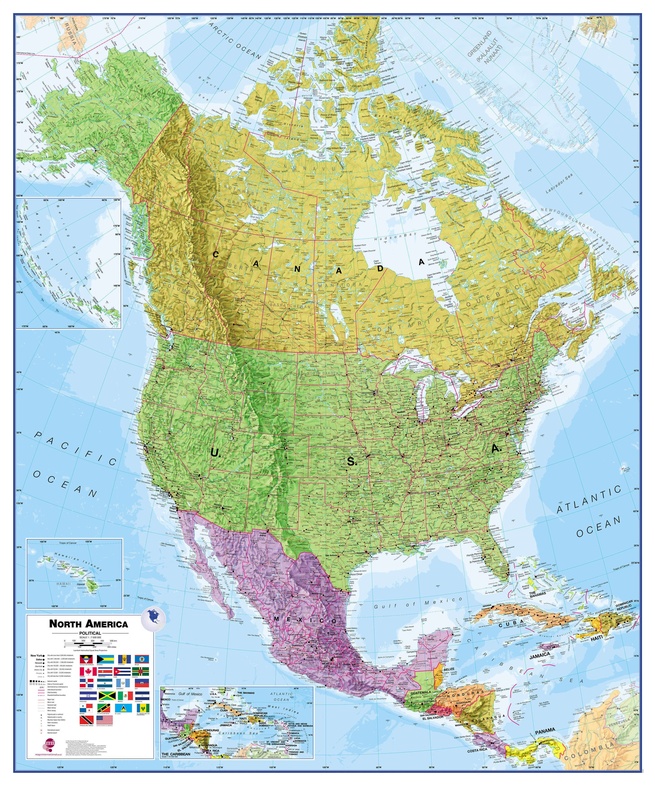
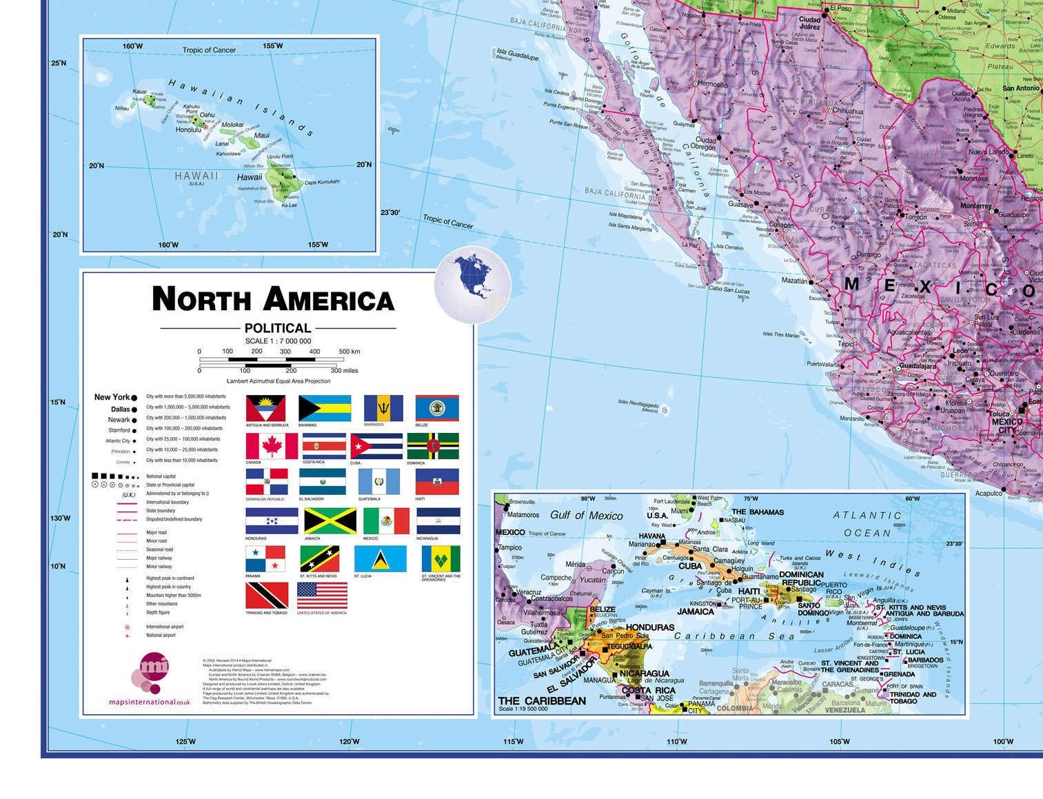
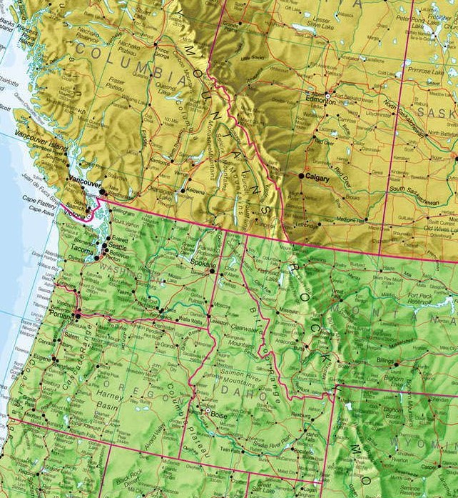
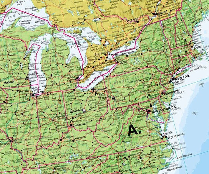
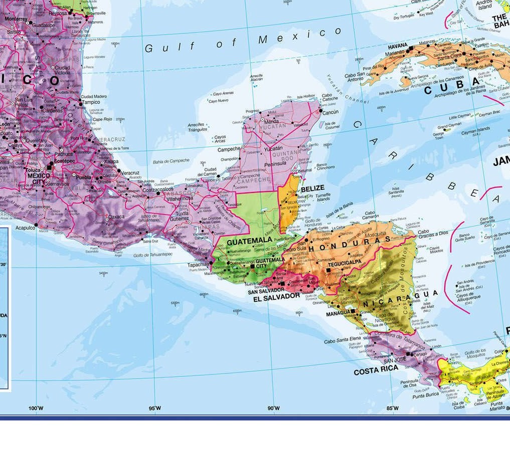
Fraaie politieke kaart van het continent, waarbij vooral de politieke aspecten heel duidelijk te lezen zijn. Alle landen hebben verschillende kleuren, steden en belangrijke verbindingen zijn goed te vinden. Dit is geplastificeerde uitvoering zonder ophangsysteem.
Dit product heeft meerdere varianten:


Reviews
Geen reviews gevonden voor dit product.
Schrijf een review
Graag horen wij wat u van dit artikel vindt. Vindt u het goed, leuk, mooi, slecht, lelijk, onbruikbaar of erg handig: schrijf gerust alles op! Het is niet alleen leuk om te doen maar u informeert andere klanten er ook nog mee!
Ook interessant voor noord-amerika/canada
-

Reisverhaal Van vuur naar ijs – Fiet
€ 22,99Reisverhalen Alaska -

Legpuzzel Niagara Falls - Niagara wa
€ 18,99Legpuzzels - 1000 stukjes Noordoost USA -

Reisgids Road Trip USA US and Canadi
€ 24,95Reisgidsen Canadian Rockies & Banff -

Fietsgids Cycling the Pacific Coast:
€ 24,95Fietsgidsen Noordwest USA -

Wegenatlas Verenigde Staten en Canad
€ 15,99Wegenatlassen Canada