
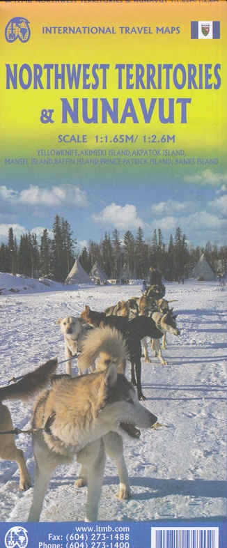
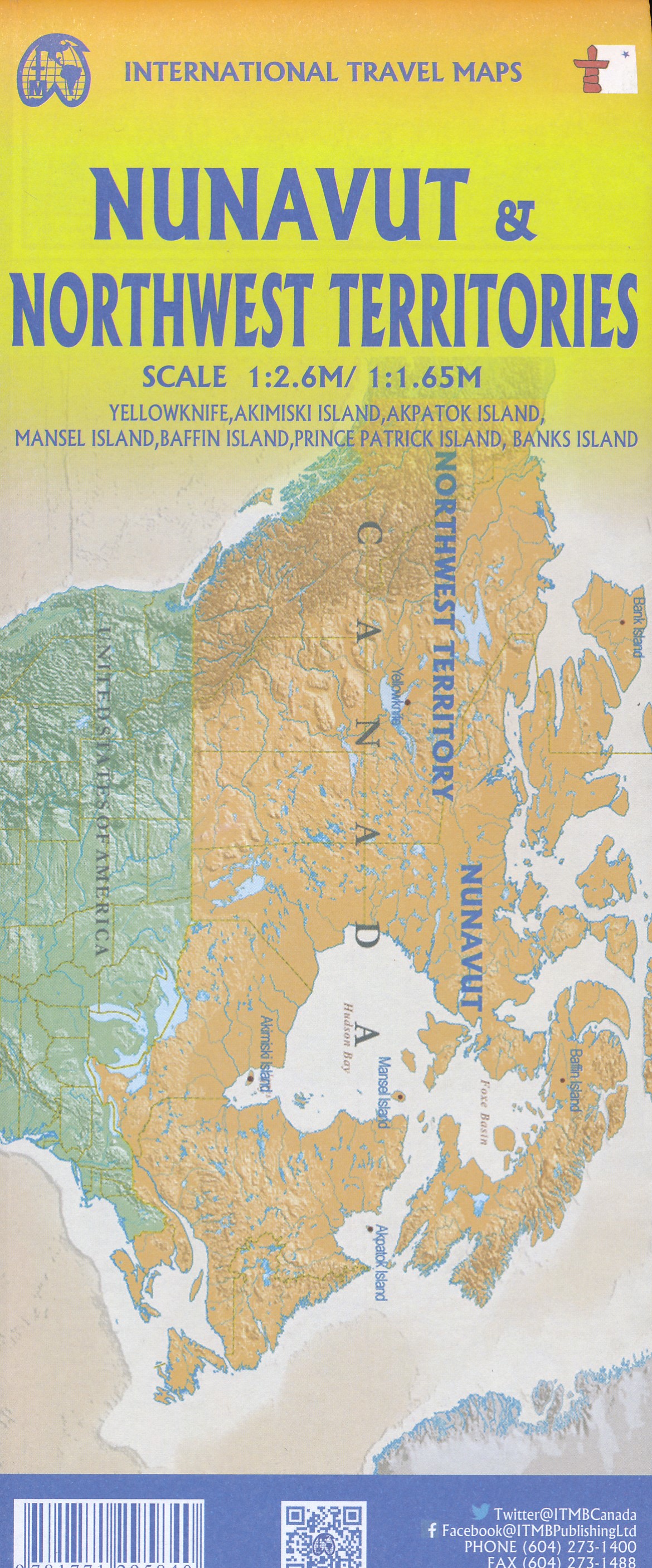
Wegenkaart - landkaart Nunavut - Northwest Territories | ITMB (9781771295840)
- ISBN / CODE: 9781771295840
- Editie: 2024
- Schaal: 1:1650000
- Uitgever: ITMB
- Soort: Wegenkaart
- Taal: Engels
- Bindwijze: -
- Uitvoering: Papier
- Schrijf als eerste een review
-
€ 13,95
Op voorraad. Voor 17.00 uur op werkdagen besteld, morgen in huis in Nederland Levertijd Belgie
Gratis verzending in Nederland vanaf €35,-
Beschrijving
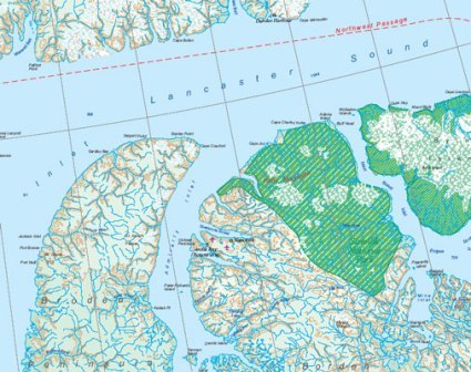
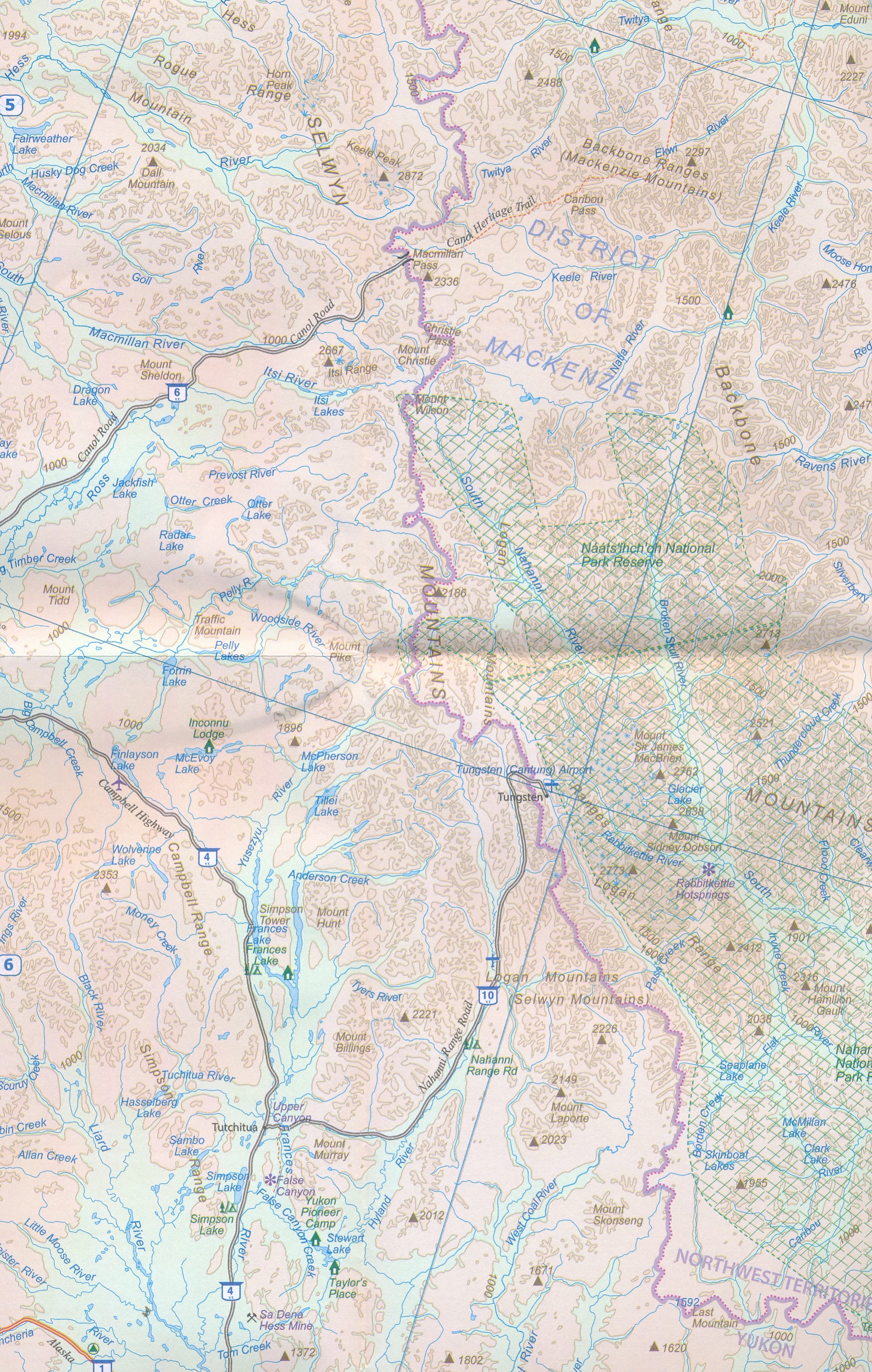
The far north of Canada, north of 60 degrees, consists of three territories; the Yukon, the Northwest Territories, and Nunavut. Until now, there has never been a proper map of the territory that was carved off from the NWT a quarter century ago. With only 30,000 people and a scattering of settlements, Nunavut is larger than western Europe in area. This map took us years to prepare, using 1:250,000 government topo maps as a base and tracing thousands of little lakes. The traditional passageway of the fabled Northwest Passage is also shown. The most northerly civilian community in the world is on the map – Grise Bay, as well as Alert, the most remote place on earth.
Reviews
Geen reviews gevonden voor dit product.
Schrijf een review
Graag horen wij wat u van dit artikel vindt. Vindt u het goed, leuk, mooi, slecht, lelijk, onbruikbaar of erg handig: schrijf gerust alles op! Het is niet alleen leuk om te doen maar u informeert andere klanten er ook nog mee!
Ook interessant voor noord-amerika/canada/overig-oost
-
 | Bradt Travel Guides")
Reisgids Nova Scotia (Canada oost) |
€ 22,50Reisgidsen Atlantisch Canada -

Wegenkaart - landkaart Nunavut - Nor
€ 13,95Wegenkaarten Canada Oost -

Wegenatlas Travel Atlas Eastern Cana
€ 16,50Wegenatlassen Canada Oost -

Waterkaart Halifax & Nova Scotia | I
€ 13,95Waterkaarten Canada Oost -

Reisgids Newfoundland & Labrador | M
€ 13,95Reisgidsen Atlantisch Canada