
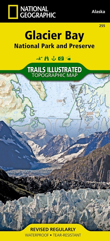
Wandelkaart - Topografische kaart 255 Glacier Bay National Park & Preserve | National Geographic (9781566953863)
- ISBN / CODE: 9781566953863
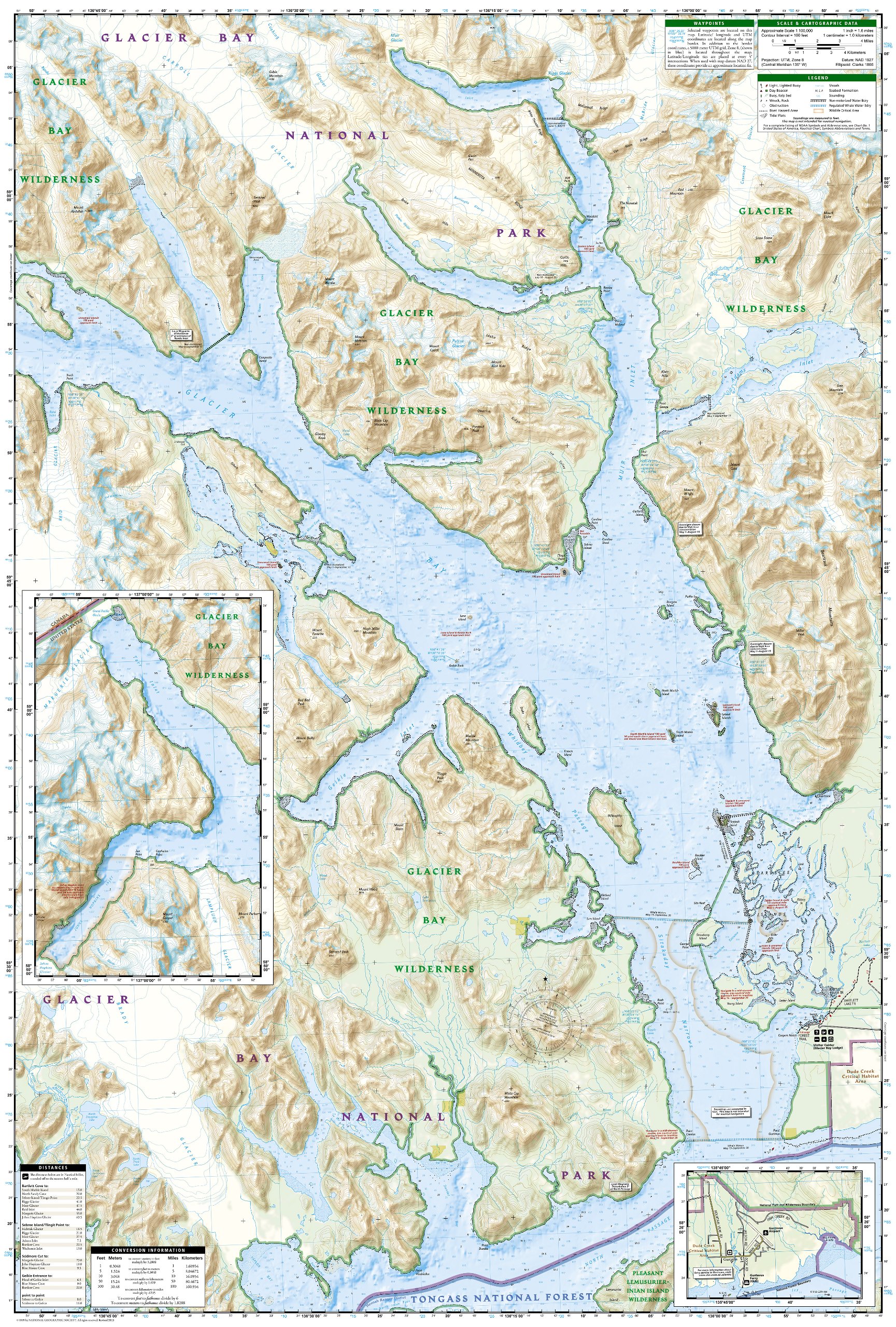
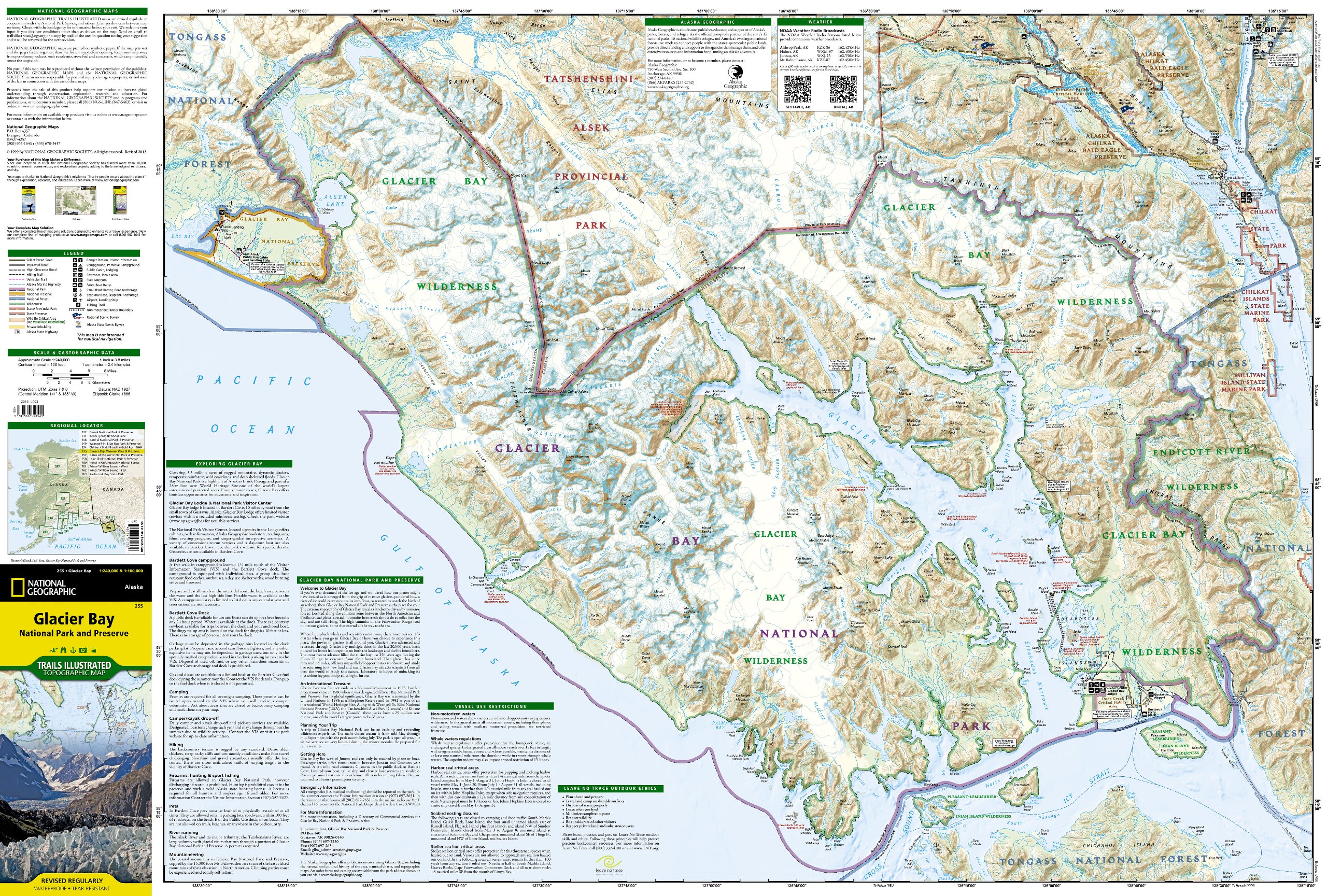
- Schaal: 1:100000
- Uitgever: National Geographic
- Soort: Topografische kaart, Wandelkaart
- Taal: Engels
- Uitvoering: -
- Bindwijze: -
- Schrijf als eerste een review
-
€ 16,95
Leverbaar in 3 - 5 werkdagen in huis in Nederland Levertijd Belgie
Gratis verzending in Nederland vanaf €35,-
-
Overzicht Wandelkaarten Alaska Trails Illustrated National Geographic
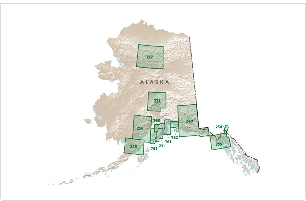
Producten op deze overzichtskaart:
Klik op een product om naar de pagina van dat product te gaan.
- Wandelkaart - Topografische kaart 222 Trails Illustrated Denali National Park | National Geographic
- Wandelkaart - Topografische kaart 248 Katmai National Park & Preserve | National Geographic
- Wandelkaart - Topografische kaart 254 Chilkoot Trail | National Geographic
- Wandelkaart - Topografische kaart 255 Glacier Bay National Park & Preserve | National Geographic
- Wandelkaart - Topografische kaart 257 Trails Illustrated Gates of the Arctic National Park & Preserve | National Geographic
- Wandelkaart - Topografische kaart 761 Prince William Sound West | National Geographic
Overzichtskaarten
Beschrijving
Prachtige geplastificeerde kaart van het nationaal park. Met alle recreatieve voorzieningen als campsites, maar ook met topografische details en wandelroutes ed. Door uitgekiend kleurgebruik zeer prettig in gebruik. Scheur en watervast!
Reviews
Geen reviews gevonden voor dit product.
Schrijf een review
Graag horen wij wat u van dit artikel vindt. Vindt u het goed, leuk, mooi, slecht, lelijk, onbruikbaar of erg handig: schrijf gerust alles op! Het is niet alleen leuk om te doen maar u informeert andere klanten er ook nog mee!
Ook interessant voor noord-amerika/verenigde-staten-van-amerika/nationale-parken
-

Natuurgids Adventure Set Denali Nati
€ 18,50Natuurgidsen Nationale Parken Verenigde Staten van Amerika -

Reisgids Alaska | Moon Travel Guides
€ 23,95Reisgidsen Alaska -

Wandelkaart - Topografische kaart 25
€ 16,95Topografische kaarten British Columbia -

Kalender Verjaardagskalender Amerika
€ 16,95Kalenders Nationale Parken Verenigde Staten van Amerika -

Reisverhaal IJskoud | Johnny Steenbe
€ 20,00Reisverhalen Alaska