Mandje Tel: +31503126950 Menu
Winkelwagen
Geen items in winkelwagen
Ga naar winkelwagen

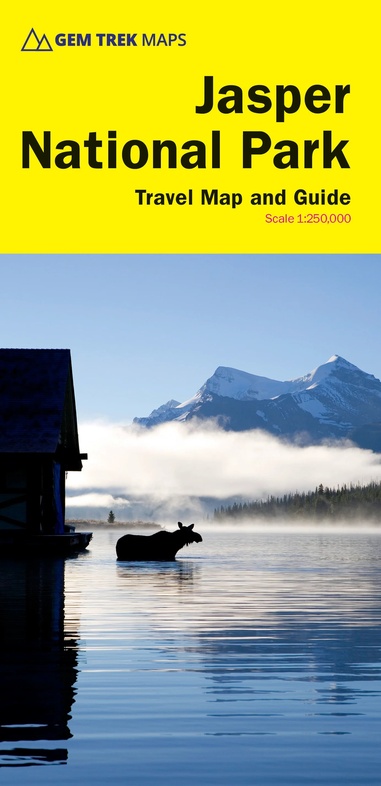
Wegenkaart - landkaart - Wandelkaart Jasper National Park (Alberta) | Gem Trek Maps (9781990161018)

  • ISBN / CODE: 9781990161018
  • Editie: 2023
  • Schaal: 1:210000
  • Uitgever: Gem Trek Maps
  • Soort: Wandelkaart, Wegenkaart
  • Taal: Engels
  • Bindwijze: -
  • Uitvoering: Scheur- en watervast
  • Schrijf als eerste een review
  • 16,95

    Op voorraad. Binnen 2 - 3 werkdagen in huis in Belgie Levertijd Nederland Voor 17.00 uur op werkdagen besteld, morgen in huis in Nederland Levertijd Belgie

    Gratis verzending in Nederland vanaf €35,-

Beschrijving

Waterproof and tear-resistant map for Jasper National Park in the Canadian Rockies.
 
Whether you are a first-time visitor or a long-time local, you’ll find Gem Trek’s Jasper National Park Map to be an invaluable tool. Researched and designed by locals, and printed in Canada, this map features accurate cartography and subtly colored relief that puts the mountainous region in perspective. The map is printed on high-quality synthetic waterproof paper that can be folded and refolded hundreds of times.
 
The 1:250,000 scale is ideal for discovering the very best of Jasper National Park. Highlights and our recommended hiking trails are marked by numbered stars, then cross-referenced on the reverse side with descriptions. Also included are all mountains and their elevations, along with natural features such as waterfalls, hot springs, and glaciers.
 
In addition to descriptions for the top highlights and most popular hiking trails, the reverse side has inset maps for the town of Jasper and the Columbia Icefield. There are also descriptions of the park’s geology, history, wildlife, and eco-regions. Practical information on outdoor activities, weather, campgrounds, lodging, and transportation allows map users to plan their trip accordingly.
 
– Map scale: 1:250,000
– Sheet size: 27 x 39 inches
– Folded size: 4.5 x 9.5 inches
 
Map Coverage
 
The Jasper National Park Map covers all of Jasper National Park in the Canadian Rockies. Coverage extends from Willmore Wilderness Park in the north to Banff National Park in the south. It also includes sections of Mount Robson Provincial Park and Hamber Provincial Park, which are all on the western side of the Continental Divide in British Columbia. Eastern coverage extends to the Coal Branch and Hinton.
 
Map Features
 
The Jasper National Park Map features:
 
- waterproof and tear-resistant paper
- relief shading to better show the topography
- full colour on both sides
- hydrology rivers, rapids and waterfalls
- mountain names and all available mountain elevations
- all campgrounds with a handy chart showing campground details
- points of interest and attractions as well as day use areas and highway viewpoints


Reviews

Geen reviews gevonden voor dit product.

Schrijf een review

Graag horen wij wat u van dit artikel vindt. Vindt u het goed, leuk, mooi, slecht, lelijk, onbruikbaar of erg handig: schrijf gerust alles op! Het is niet alleen leuk om te doen maar u informeert andere klanten er ook nog mee!