
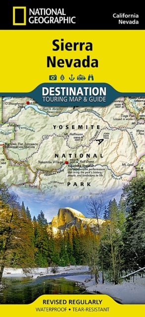
Wegenkaart - landkaart Sierra Nevada | National Geographic (9781597754491)
- ISBN / CODE: 9781597754491
- Editie: 2024
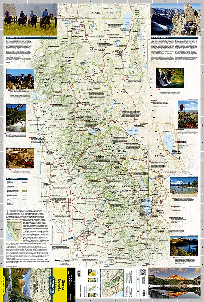
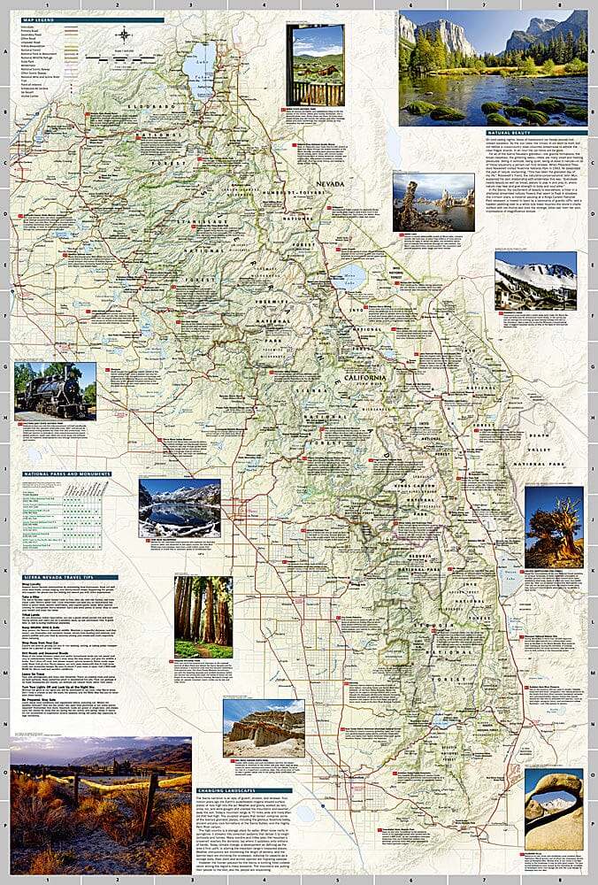
- Schaal: 1:543000
- Uitgever: National Geographic
- Soort: Wegenkaart
- Taal: Engels
- Hoogte: 23.0 cm
- Breedte: 10.5 cm
- Dikte: 0.5 cm
- Bindwijze: -
- Uitvoering: Scheur- en watervast
- Schrijf als eerste een review
-
€ 17,50
Op voorraad. Voor 17.00 uur op werkdagen besteld, morgen in huis in Nederland Levertijd Belgie
Gratis verzending in Nederland vanaf €35,-
Beschrijving
Reviews
Geen reviews gevonden voor dit product.
Schrijf een review
Graag horen wij wat u van dit artikel vindt. Vindt u het goed, leuk, mooi, slecht, lelijk, onbruikbaar of erg handig: schrijf gerust alles op! Het is niet alleen leuk om te doen maar u informeert andere klanten er ook nog mee!
Ook interessant voor noord-amerika/verenigde-staten-van-amerika/californie
-

Wandelgids Northern California Hikin
€ 31,95Wandelgidsen Californië -

Natuurgids - Vogelgids California Wi
€ 9,95Natuurgidsen Californië -

Reisgids California - Southwest USA'
€ 18,50Reisgidsen Zuidwest USA -

Wegenkaart - landkaart Nevada | Busc
€ 13,95Wegenkaarten Nevada -

Fotoboek die Welt erleben USA - der
€ 15,50Fotoboeken Zuidwest USA