
Winkelwagen
Geen items in winkelwagen
Ga naar winkelwagen
Kaarten
De beste wegenkaarten, routekaarten, fiets- of wandelkaarten en topografische kaarten vindt u hier!
Gaat u wandelen, met de auto toeren of op andere manier de omgeving op uw vakantiebestemming verkennen? Onze tip: neem een goede kaart mee! Er zijn speciale kaarten beschikbaar voor campervakanties, fietsroutes, pelgrimsroutes, wandeltochten en veel meer. Ook wegenatlassen en wegenkaarten kunnen handig zijn onderweg.
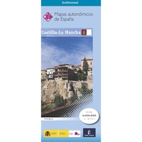 Wegenkaart - landkaart Castilla-La Mancha | CNIG - Instituto Geográfico Nacional
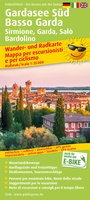 Fietskaart - Wandelkaart 1548 Gardasee Süd - Basso Garda | Publicpress
 Fietskaart - Wandelkaart 1549 Ammergau | Publicpress
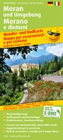 Fietskaart - Wandelkaart 1550 Meran und Umgebung - Merano | Publicpress
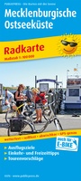 Fietskaart 376 Mecklenburgische Ostseeküste | Publicpress
 Fietskaart - Wandelkaart 565 Kinzigtal mitten im Schwarzwald | Publicpress
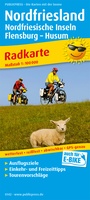 Fietskaart 142 Nordfriesland | Publicpress
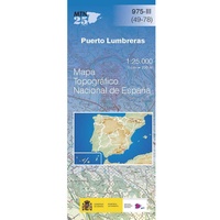 Topografische kaart 975-III Puerto Lumbreras | CNIG - Instituto Geográfico Nacional
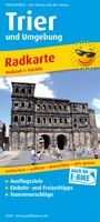 Fietskaart 169 Trier & omg. fietskaart | Publicpress
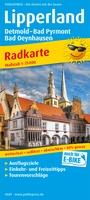 Fietskaart 589 Lipperland | Publicpress
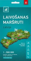 Waterkaart Letland Waterroutes | Jana Seta
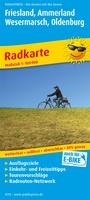 Fietskaart 113 Friesland Ammerland - Wesermarsch | Publicpress
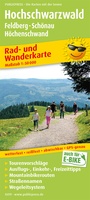 Fietskaart - Wandelkaart 419 Hochschwarzwald | Publicpress
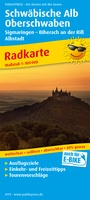 Fietskaart 171 Schwäbische Alb & Oberschwaben | Publicpress
 Fietskaart 147 Cuxland - Teufelsmoor | Publicpress
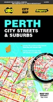 Stadsplattegrond 662 Perth City Streets & Suburbs | UBD Gregory's
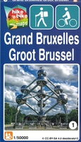 Fietskaart - Wandelkaart 1 Groot Brussel | Mini-Ardenne
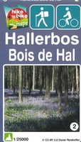 Fietskaart - Wandelkaart 2 Hallerbos | Mini-Ardenne
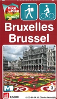 Fietskaart - Wandelkaart 3 Brussel | Mini-Ardenne
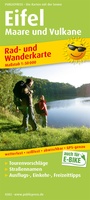 Fietskaart - Wandelkaart 382 Eifel Maare & Vulkane | Publicpress
Laatste reviews

Goede kaart. Wel vergrootglas nodig om kleinste letters telezen
Prima koop
★★★★★ door Paul van Schelt 26 november 2024 | Heeft dit artikel gekocht
Prima product maar plattegrond Delhi is kon overzichtelijker
Het product wat ik van u heb ontvangen is prima !! maar voldoet niet geheel aan mijn verwachtingen want ik had een iets overzichtelijkere plattegrond …
★★★★★ door W. Breeschoten 26 november 2024 | Heeft dit artikel gekocht
Plattegrond voldoet bijna aan mijn wensen
De kaart NEPAL is netjes uitgevoerd en voldoet bijna aan mijn wensen : De plattegrond van KATHMANDU had ik liever iets uitvoeriger gezien en voorzien …
★★★★★ door Wout Breeschoten 26 november 2024 | Heeft dit artikel gekocht
Super handig
Het is een mooi boekje, super handig. Beter dan de volwassen versie.
★★★★★ door Petra 26 november 2024 | Heeft dit artikel gekocht