
Harvey Maps
Superhandige wandelkaarten van Harvey Maps voor Engeland, Schotland & Wales
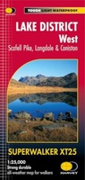 Wandelkaart Lake District West | Harvey Maps
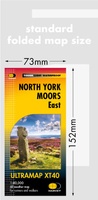 Wandelkaart North York Moors Oost | Harvey Maps
Covers a large area yet is handily compact. Pocket perfect! Detailed map for runners and walkers of the eastern section of the North York Moors National Park at the …
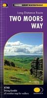 Wandelkaart Two Moors Way | Harvey Maps
Een bijzonder handige kaart van dit lange-afstands-wandelpad. Op waterafstotend papier met veel details. Het enige dat je eigenlijk een beetje mist is een overzicht. Verder uitstekend en voldoende voor de …
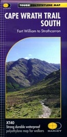 Wandelkaart Cape Wrath Trail South | Harvey Maps
Een bijzonder handige kaart van dit lange-afstands-wandelpad. Op waterafstotend papier met veel details. Het enige dat je eigenlijk een beetje mist is een overzicht. Verder uitstekend en voldoende voor de …
★★★★★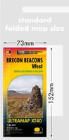 Wandelkaart Brecon Beacons West | Harvey Maps
Covers a large area yet is handily compact. Pocket perfect! Detailed map for runners and walkers of the western part of the Brecon Beacons National Park at the magic …
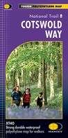 Wandelkaart Cotswold Way | Harvey Maps
Mooie, duidelijke kaart van de Cotswold Way in Engeland. Geplastificeerd met veel extra informatie en uitsnedes van de route. A leap forward in technical excellence: Tough, durable and 100% …
★★★★★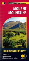 Wandelkaart Mourne Mountains | Harvey Maps
The Mournes, a granite mountain range in County Down, includes the highest mountains in Northern Ireland. The highest is Slieve Donard at 850 metres. Detailed map for hillwalkers of …
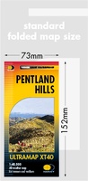 Wandelkaart Pentland Hills | Harvey Maps
Covers a large area yet is handily compact. Pocket perfect!Detailed map for runners and walkers of the whole of the Pentlands at the magic scale of 1:40,000 on one side …
 Wandelkaart Snowdonia Zuid | Harvey Maps
 Wandelkaart Dartmoor Zuid | Harvey Maps
Covers a large area yet is handily compact. Pocket perfect! Detailed map for runners and walkers of the south section of Dartmoor National Park at the magic scale of …
 Wandelkaart Peddars Way & Norfolk Coast Path | Harvey Maps
Mooie, duidelijke kaart van de Peddars Way in het oosten van Engeland. Geplastificeerd met veel extra informatie en uitsnedes van de route. The Peddars Way and Norfolk Coast Path …
★★★★★ Wandelkaart Great Glen Way | Harvey Maps
Mooie, duidelijke kaart van de Great Glen Way in Schotland. Geplastificeerd met veel extra informatie en uitsnedes van de route. Leap forward in technical excellence. Tough, light and 100% …
★★★★★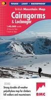 Wandelkaart Cairngorms & Lochnagar | Harvey Maps
"Inspiring map of much of Scotland's newest National Park with masses of information for walkers, mountain bikers and mountaineers. And it is virtually indestructible." Nigel Williams, Head of Training, Glenmore …
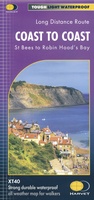 Wandelkaart Coast to Coast | Harvey Maps
Een bijzonder handige kaart van dit lange-afstands-wandelpad. Op waterafstotend papier met veel details. Het enige dat je eigenlijk een beetje mist is een overzicht. Verder uitstekend en voldoende voor de …
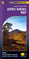 Wandelkaart Affric Kintail Way | Harvey Maps
Mooie, duidelijke kaart van de Affric Kintail way in Schotland. Geplastificeerd met veel extra informatie en uitsnedes van de route. De hele rote op 1 kaart, erg handig! The Affric …
★★★★★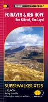 Wandelkaart Foinaven & Ben Hope | Harvey Maps
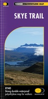 Wandelkaart Skye Trail | Harvey Maps
Een bijzonder handige kaart van dit lange-afstands-wandelpad. Op waterafstotend papier met veel details. Het enige dat je eigenlijk een beetje mist is een overzicht. Verder uitstekend en voldoende voor de …
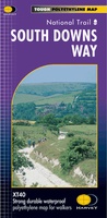 Wandelkaart - Fietskaart South Downs Way | Harvey Maps
Mooie, geplastificcerde kaart van de South Downs Way. De kaart is geschikt voor zowel wandelaars, fietsers als ruiters. Met veel extra informatie en uitsnedes van de route. Suitable …
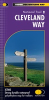 Wandelkaart Cleveland Way | Harvey Maps
Mooie, duidelijke kaart van de Cleveland Way in Noord-Engeland. Geplastificeerd met veel extra informatie en uitsnedes van de route. Leap forward in technical excellence. Tough, light and 100% waterproof …
★★★★★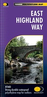 Wandelkaart East Highland Way | Harvey Maps
Mooie, duidelijke kaart van de East highland Way in Engeland. Geplastificeerd met veel extra informatie en uitsnedes van de route. East Highland Way is an exciting new unofficial long distance …
★★★★★
Laatste reviews

Blij dat De Zwerver deze perfecte, franstalige IGN gidsen aanbiedt en dan óók met een woordenlijst erbij gevoegd. De voorbereiding kan beginnen na een vlotte …
★★★★★ door Lie van Schelven 06 januari 2025 | Heeft dit artikel gekocht
Voor een paar dagen Leipzig een prima reisgids. Het deel voor Dresden is aanmerkelijk groter maar was niet hinderlijk.
★★★★★ door J.A. Pazie 06 januari 2025 | Heeft dit artikel gekocht
Op reis in Botswana is deze kaart onmisbaar en vreselijk nuttig. Handig met tankstations. Snel thuisbezorgd.
★★★★★ door henk heeringa 06 januari 2025 | Heeft dit artikel gekocht
Zeer tevreden.
★★★★★ door R. Ahlers 06 januari 2025 | Heeft dit artikel gekocht