National Geographic
Dit bekende tv-kanaal heeft naast prachtige natuurdocumontaires en magazines ook zijn eigen reisgidsen en wegenkaarten uitgegeven. De landkaarten zijn gedrukt op scheurvast en waterbestendig papier wat een vergrootte levensduur betekent. De kaarten zijn helder en bevatten een schat aan informatie voor zowel de 'gewone' toerist als de avonturier. De hoofdwegen zijn duidelijk aangegeven, maar ook de secundaire wegen en tracks staan er op. Met de nationale parken duidelijk en mooie zwemplekken of attracties aangegeven onderscheidt deze kaartenserie zich van de andere wegenkaarten. De kaarten heten dan ook niet voor niets Adventure Maps! Het avontuur wacht!
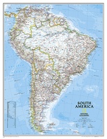 Wandkaart 20074 Zuid Amerika, politiek, 91 x 117 cm | National Geographic
Staatkundige kaart van Zuid-Amerika (in kleur). De kaart wordt verzonden in een koker. This classic map of South America shows political boundaries, place names, airports, major roads and highways, …
★★★★★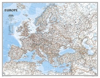 Wandkaart 20075 Europa, politiek, 114 x 88 cm | National Geographic
This colorful Europe political map clearly shows country boundaries, capitals, many major cities, bodies of water, airports, major highways and roads, and much more.
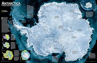 Wandkaart 20091 Antarctica Satellite Map, 78 x 50 cm | National Geographic
This digital mosaic of 4,500 satellite scans shows incredible detail of Antarctica's terrain. Includes insets that show the surface elevation, ice sheet thickness, ice flow velocity, and sea ice movement …
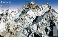 Wandkaart 20098 Mount Everest 50th anniversary | National Geographic
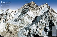 Wandkaart 20098 Mount Everest 50th anniversary | National Geographic
 Wandelkaart - Topografische kaart 201 Trails Illustrated Yellowstone National Park | National Geographic
Prachtige geplastificeerde kaart van het bekende nationaal park. Met alle recreatieve voorzieningen als campsites, maar ook met topografische details en wandelroutes ed. Door uitgekiend kleurgebruik zeer prettig in gebruik. Scheur …
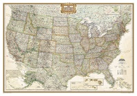 Wandkaart 20114 USA - Verenigde Staten politiek, antiek, 108 x 75 cm | National Geographic
Wandkaart van de USA waarbij de kleuren in 'antieke' look zijn weergegeven, de staatgrenzen zeer duidelijk zijn en er veel plaatsen op staan. This Antique-style USA Wall Map by National …
★★★★★★★★★★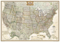 Wegenkaart - landkaart 20115 USA United States Executive Antique Large | 178 x 122 cm | National Geographic
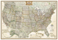 Wandkaart 20115 USA United States Executive Antique Large | 176 x 122 cm | National Geographic
 Wandelkaart 202 Grand Teton National Park | National Geographic
Prachtige geplastificeerde kaart van het bekende nationaal park. Met alle recreatieve voorzieningen als campsites, maar ook met topografische details en wandelroutes ed. Door uitgekiend kleurgebruik zeer prettig in gebruik. Scheur …
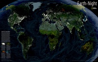 Wereldkaart 20306 Aarde bij nacht | 89 x 57 cm | National Geographic
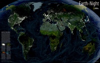 Wereldkaart 20306 Aarde bij nacht | 89 x 57 cm | National Geographic
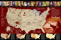 Poster 20315 Indian country | 90 x 58 cm | National Geographic
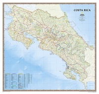 Wandkaart 20321 Costa Rica, 97 x 92 cm | National Geographic
Decoratieve wandkaart van Costa Rica. Naast de mooie kleuren staan er bijzonder veel plaatsen op vermeld. This full-color map is a richly detailed rendering of one of Central America's …
★★★★★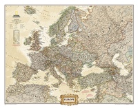 Wandkaart 20323 Europa, politiek & antiek, 77 x 60 cm | National Geographic
National Geographic is a renowned authority in cartography. For 120 years the Society's maps have helped spread geographic knowledge around the globe. A vast database allows National Geographic to combine …
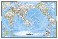 Wereldkaart 20324 World Classic, pacific centered, 117 x 78 cm | National Geographic
Bijzondere wereldkaart vanuit een voor ons apart perspectief: de grote oceaan staat centraal. Prachtig beschaafd kleurgebruik en veel topografische aanduidingen maken het een mooie kaart. Volledig up-to-date. This unique …
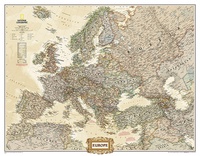 Wandkaart 20326 Europa, politiek & antiek, 116 x 90 cm | National Geographic
National Geographic is a renowned authority in cartography. For 120 years the Society's maps have helped spread geographic knowledge around the globe. A vast database allows National Geographic to combine …
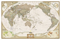 Wereldkaart 20327 Politiek & antiek, pacific centered, 117 x 78 cm | National Geographic
National Geographic's World map is the standard by which all other reference maps are measured. The World map is meticulously researched and adheres to National Geographic's convention of making independent, …
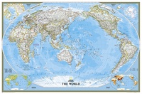 Wereldkaart 20331 Politiek, pacific centered, 185 x 122 cm | National Geographic
This unique view employs a new map projection to accentuate the Pacific Rim, and shows Oceania and Asia in close proportion to their actual size on the Earth. It brings …
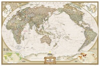 Wereldkaart 20334 Politiek & antiek, pacific centered, 185 x 122 cm | National Geographic
The Pacific-centered map employs a new map projection to accentuate the Pacific Rim, and shows Oceania and Asia in close proportion to their actual size on the Earth. It brings …
Laatste reviews

Deze kaarten gebruik ik om mooie wandelingen uit te zetten, die ik dan met mijn liefste meisje beloop. Dank u wel voor de snelle adequate …
★★★★★ door Jacques Marks 03 december 2024 | Heeft dit artikel gekocht
Ook ik ben een zwerver, maar gelukkig niet dakloos. Deze kaarten gebruik ik om mooie wandelingen uit te zetten, die ik dan met mijn liefste …
★★★★★ door Jacques Marks 03 december 2024 | Heeft dit artikel gekocht
Perfect👍
★★★★★ door Wilma & Mari 03 december 2024 | Heeft dit artikel gekocht
Vooralsnog ben ik tevreden met de kaart. Hij werd vlot bezorgd en ik kan hem goed lezen. De echte proof of the pudding vindt echter …
★★★★★ door Jan Piebe Tjepkema 03 december 2024 | Heeft dit artikel gekocht


