
Wandelgidsen - Europa
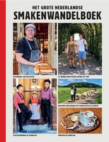 Wandelgids Het grote Nederlandse smakenwandelboek | ANWB Media
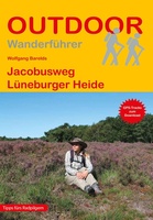 Wandelgids - Pelgrimsroute Jacobusweg Lüneburger Heide | Conrad Stein Verlag
Handzaam boekje met routebeschrijvingen inclusief een heleboel praktische informatie. De beschrijving is uitstekend, maar kaarten zijn beperkt en schetsmatig aanwezig. Duits. Der Jacobusweg wird zwar nicht dem offiziellen Netz der …
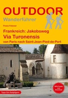 Wandelgids Frankreich: Jakobsweg Via Turonensis | Conrad Stein Verlag
Die Via Turonensis von Paris bis zu den Pyrenäen ist mit ihren ca. 997 km der längste der vier großen Pilgerwege in Frankreich Richtung Santiago de Compostela. Dort war ursprünglich …
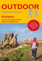 Wandelgids Bretagne | Conrad Stein Verlag
Die Bretagne ist als Urlaubsregion zu Recht beliebt. Zwischen rauen Küsten und lieblichen Dörfern, tiefen Wäldern und endlosen Sandstränden, zerklüfteten Felsen und Moorlandschaften liegt meist nur ein Katzensprung. Die Wanderungen …
 Wandelgids Schottland West Highland Way | Rother Bergverlag
Auf dem West Highland Way lernt man Schottlands schönste Seiten zu Fuß kennen: Von den bewohnten Ausläufern Glasgows in den Lowlands führt dieser 150 Kilometer lange Weitwanderweg bis ins Herz …
 Wandelgids 15 Short Walks Dumfries and Galloway | Cicerone
Ronald Turnbull has chosen 15 of the best short walks around Dumfries and Galloway for you to explore. Our guide comes with easy-to-read Ordnance Survey maps and clear route descriptions, …
 Wandelgids Catalunya - Girona Pyrenees | Cicerone
The delights of Spain's Catalunya - Girona Pyrenees region are revealed in this new walking guide, which covers 35 graded walks of 5 to 19km across Garrotxa, Ripolles and the …
 Wandelgids De Caesar Route | Uitgeverij Wbooks
Een tiental dagtochten voert door veelal prachtige natuur in Nederland en omgeving, met een verrassende historische dimensie. Door Caesar te benaderen als eerste ontdekkingsreiziger in onze regio, biedt deze op …
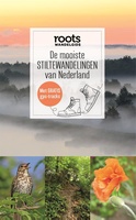 Wandelgids De mooiste stiltewandelingen van Nederland | Fontaine Uitgevers
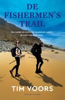 Reisverhaal - Wandelgids Inspirerend wandelen met Tim Voors De Fishermen's Trail | Tim Voors
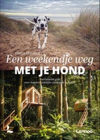 Wandelgids Een weekendje weg met je hond | Lannoo
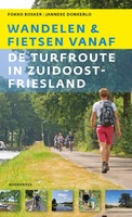 Wandelgids Fietsen en wandelen vanaf de Turfroute in Zuidoost-Fryslân | Uitgeverij Noordboek
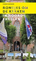 Wandelgids Rondjes om de kerken in Noord-Fryslân | Uitgeverij Noordboek
Kerken fungeren als bakens in het landschap. In het weidse terpengebied is de kerk een markante verschijning. De monumenten vertellen een verhaal van gemeenschapszin en vormen een ideale uitvalsbasis om …
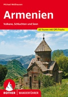 Wandelgids Armenien - Armenie | Rother Bergverlag
Uitstekende wandelgids met een groot aantal dagtochten in dal en hooggebergte. Met praktische informatie en beperkt kaartmateriaal! Wandelingen in verschillende zwaarte weergegeven in rood/blauw/zwart. Wandern im ältesten christlichen Land …
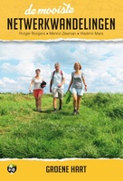 Wandelgids de mooiste netwerkwandelingen Groene hart | Uitgeverij Elmar
De reeks ‘De mooiste netwerkwandelingen' heeft zijn succes te danken aan een heldere formule waarmee iedereen een mooie wandeling in Nederland kan maken. Zowel voor de ervaren wandelaar als voor …
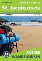 Wandelgids Camino del Norte | Uitgeverij Elmar
Steeds meer mensen zijn bekend met de Noordelijke kustroute van de Santiago de Compostela, oftewel de Sint Jacobsroute. Deze route wijkt iets af van de traditionele pelgrimsroute en loopt langs …
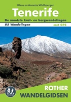 Wandelgids Tenerife | Uitgeverij Elmar
85 wandelingen op het meest veelzijdige van de Canarische Eilanden. Een paradijs voor wandelaars: idyllische valleien, pijnboom- en laurierbossen, wilde ravijnen, majestueuze bergtoppen en de overweldigende Las Cañadas met de …
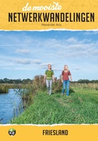 Wandelgids de mooiste netwerkwandelingen Friesland | Uitgeverij Elmar
De reeks ‘De mooiste netwerkwandelingen' heeft zijn succes te danken aan een heldere formule waarmee iedereen een mooie wandeling in Nederland kan maken. Zowel voor de ervaren wandelaar als voor …
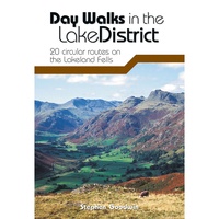 Wandelgids Day Walks in the Lake District | Vertebrate Publishing
Day Walks in the Lake District features 20 circular routes between 5 and 13 miles (8 and 21 kilometres) in length, suitable for hillwalkers of all abilities. The routes are …
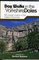 Wandelgids Day Walks in the Yorkshire Dales | Vertebrate Publishing
Day Walks in the Yorkshire Dales is the fourth title in Vertebrate Publishing's series of compact and portable hillwalking guidebooks. This book showcases 20 circular walks in the Yorkshire Dales …
Laatste reviews

Heb de gids cadeau gedaan en die persoon was er heel blij mee ..
★★★★★ door J 21 november 2024 | Heeft dit artikel gekocht
De kaart van Kirgystan is prachtig, zeer gedetailleerd. Kan niet wachten tot de we echt op reis hmgaan die kant op.
★★★★★ door Marijke Eering 21 november 2024 | Heeft dit artikel gekocht
Super handig fiets boekje en mooi water bestendig. En handig om op de kaarten te kijken heel duidelijk beschrijving. Wij fietsen al jaren in Duitsland …
★★★★★ door Jenneke holterman 19 november 2024 | Heeft dit artikel gekocht
prima kaart levering en betaling allemaal vlot verlopen
★★★★★ door Marc Buts 19 november 2024 | Heeft dit artikel gekocht