♦ Peak District Nationaal Park
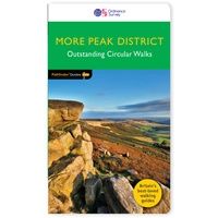 Wandelgids 073 Pathfinder Guides More Peak District | Ordnance Survey
This companion to the Pathfinder Peak District Guidebook contains 28 additional circular walks of 3 to 10.5 miles. Like the main book, each is graded length difficulty, and ranger from …
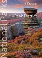 Wandelgids Peak District | Northern Eye Books
Klein, handzaam wandelgidsje met wandelingen in het Peak District. Met goede kaartjes van Ordnance Survey. Discover the very best of the Peak District. These ten themed walks explore the …
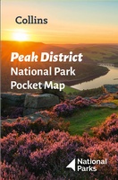 Wegenkaart - landkaart National Park Pocket Map Peak District | Collins
Handige kleine kaart van dit Nationaal Park. De kaart geeft een goed en helder overzicht van het gebied met alle plaatsen, doorgaande wandelpaden (alhoewel grof van schaal), bezienswaardigheden etc. Met …
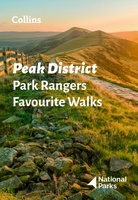 Wandelgids Park Rangers Favourite Walks Peak District | Collins
The perfect companions for exploring the National Parks. Walking guide to the Peak District National Park, with 20 best routes chosen by the park rangers. Each walk varies in length …
★★★★★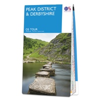 Fietskaart 4 Tour Map Peak district & Derbyshire | Ordnance Survey
De Ordnance Survey Tour Maps met schaal 1:100.000 zijn uitstekend geschikt om zelf je fietsvakantie te plannen in Engeland. Ze laten alle alle grote en kleinere wegen zien. Bovendien staan …
★★★★★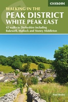 Wandelgids Walking in the Peak District - White Peak East | Cicerone
Uitstekende wandelgids van het Peak District van de gerenommeerde uitgever Cicerone. This guidebook provides 35 day walks and 7 longer walks and trails exploring the eastern section of Derbyshire's …
★★★★★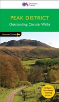 Wandelgids 063 Pathfinder Guides Peak District | Ordnance Survey
Wandelgids van een deel van Engeland, Schotland of Wales. Deze gids bevat 28 dagwandelingen, variërend van korte tochten tot pittige dagtochten. De bijbehorende kaarten zijn uitstekend: men heeft de topografische …
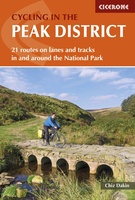 Fietsgids Cycling in the Peak District | Cicerone
Guide to cycling in and around the Peak District National Park, on road or trail bike. 20 day routes and one multi-day cycle tour of the Peak District. All easily …
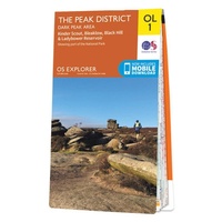 Wandelkaart - Topografische kaart OL01 OS Explorer Map The Peak District - Dark Peak Area | Ordnance Survey
Met zijn 4cm voor 1 km (2 ½ cm voor 1 mijl) schaal, is de OS Outdoor Leisure kaartenserie de ideale en meest gedetailleerde kaartenreeks voor mensen die graag outdoor-activiteiten …
★★★★★★★★★★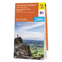 Wandelkaart - Topografische kaart OL24 OS Explorer Map The Peak District - White Peak Area | Ordnance Survey
Met zijn 4cm voor 1 km (2 ½ cm voor 1 mijl) schaal, is de OS Outdoor Leisure kaartenserie de ideale en meest gedetailleerde kaartenreeks voor mensen die graag outdoor-activiteiten …
★★★★★★★★★★ Wandelkaart Peak District Noord | Harvey Maps
New, Superwalker XT25 of the Peak District. Revised and re-designed It's got everything! Genuine original HARVEY mapping at 1:25,000. Ideal for walking. Clear, easy to read. Easy to re-fold. Opens …
 Wandelkaart Peak District Central | Harvey Maps
New Superwalker XT25 of the Peak District Revised and re-designed. It's got everything! Genuine original HARVEY mapping at 1:25,000. Ideal for walking. Clear, easy to read. Easy to re-fold. Opens …
 Wandelkaart Peak District Noord | Harvey Maps
HARVEY launch innovative new series: Ultramap XT40. 16 titles featuring in Trail magazine through spring 2016. 40 years experience have gone into HARVEY's most creative new series. The Ultramap covers …
 Wandelkaart Peak District Central | Harvey Maps
HARVEY launch innovative new series: Ultramap XT40. 16 titles featuring in Trail magazine through spring 2016. 40 years experience have gone into HARVEY's most creative new series. The Ultramap covers …
 Wandelkaart Peak District Zuid | Harvey Maps
HARVEY launch innovative new series: Ultramap XT40. 16 titles featuring in Trail magazine through spring 2016. 40 years experience have gone into HARVEY's most creative new series. The Ultramap covers …
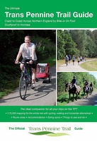 Fietsgids The Ultimate Trans Pennine Trail Guide | Excellent Books
Gidsboek voor de Trans Pennine Trail met spiraalbinding, inclusief kaarten, hoogtegrafieken en verblijfsmogelijkheden. The Trans Pennine Trail guide book covers the hugely popular 370 miles (595km) of trail across the …
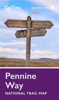 Wandelkaart National Trail Map Pennine Way | Collins
Overzichtskaart op vrij grove schaal van deze LAW Lange Afstands Wandeling in Engeland. Let op: je kunt er niet op lopen. Wel met veel informatie op de kaart, goed ingetekend, …
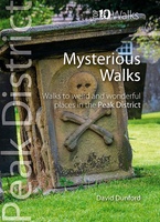 Wandelgids Mysterious Walks in the Peak District | Northern Eye Books
Even the Peak District’s name conceals a mystery. Forget the obvious: a visitor expecting towering peaks will be disappointed, as the name comes from the Pecsaetan tribe who once lived …
 Wandelgids Tea Shop Walks | Northern Eye Books
The Peak District abounds with cafes and tea shops offering fabulous, freshly brewed coffee and a mouthwatering variety of speciality teas. This pocket-size guide picks carefully selected cafés across …
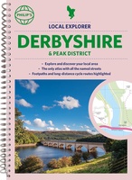 Wegenatlas Local Explorer Street Atlas Derbyshire and the Peak District | Philip's Maps
Who hasn't explored and enjoyed their surrounding area in recent years and come to appreciate what is on our respective doorsteps? Philip's have created this new series for walkers, cyclists …
Laatste reviews

Handig formaat met overzichtelijke nuttige inhoud. Ruimte voor notities. Een aanrader dus.
★★★★★ door Vera van Miert 10 januari 2025 | Heeft dit artikel gekocht
Wij hebben veel gereisd door Griekenland Ondanks alle navigatie systemen vertrouwen nog steeds op de (ouderwetse landkaarten) Bij de zwerver kun je bijna alle kaarten …
★★★★★ door Henri Nonhebel 09 januari 2025 | Heeft dit artikel gekocht
Eindelijk een reisboek dat echte informatie over een land en haar bevolking verschaft; en ook nog eens zeer leesbaar!
★★★★★ door Piet Maartense 09 januari 2025 | Heeft dit artikel gekocht
Tja in 3 reisboekenwinkels in Amsterdam was hij nog niet te krijgen. We gaan in juni deel 1 van Haarlem tot Tours (Fr.) De fietsen …
★★★★★ door Peter 09 januari 2025 | Heeft dit artikel gekocht


