
Wales
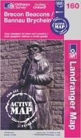 Wandelkaart 160 Landranger Active Brecon Beacons | Ordnance Survey
Zeer goede detailkaart met topografische ondergrond. Hierop zijn toeristische symbolen van bezienswaardigheden ingetekend, daarnaast staan bijvoorbeeld campings en jeugdherbergen vermeld en - voor wandelaars het belangrijkst - alle right of …
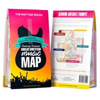 Wegenkaart - landkaart Great British Music Map | Strumpshaw, Tincleton & Giggleswick's Marvellous Maps
When it comes to music, Britain calls the tune on the world stage, playing second fiddle to nobody. This new and unique fold-out map celebrates Britain’s globe-straddling musical prowess, featuring …
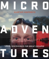 Reisgids Microadventures | Collins
Deze praktische gids staat vol met ideeën voor microadventures - om zelf of met vrienden en familie te beleven - en meer dan 150 verbluffende foto's, plus tips en advies …
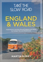 Campergids - Reisgids Take the Slow Road: England - Engeland and Wales | Bloomsbury
The ultimate guide to the very best scenic and fun routes for camper vans and motorhomes around the valleys, mountains and coastlines of wonderful England and Wales. In this book …
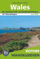 Wandelgids Wales | Uitgeverij Elmar
De Rother wandelgids Wales beschrijft de 50 mooiste kust- en bergwandelingen in het westen van het Verenigd Koninkrijk - van Pembrokeshire tot Anglesey, van de Ierse Zee tot de grens …
 Fietsgids Cycle Touring in Wales | Cicerone
Fietsgids van een langere route door Wales met een paar short-cuts als mogelijkheden: een behoorlijke lange route en niet te onderschatten wat betreft de zwaarte. Goede beschrijvingen, heel wat praktische …
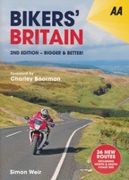 Reisgids Motorgids Bikers' Britain | AA Publishing
UItgebreide gids, met handige ringband, voor motortochten door Engeland, Wales en Schotland. 2nd edition of Bikers' Britain with updated content and 82 routes, 36 of them are brand new for …
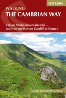 Wandelgids The Cambrian Way | Cicerone
Uitstekende wandelgids van de Cambrian Way, waarbij naast alle noodzakelijke informatie ook gebruik gemaakt wordt van de echte topografische kaart. Dubbed 'the mountain connoisseurs' walk', the Cambrian Way stretches 479km …
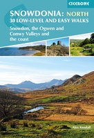 Wandelgids Snowdonia: North - Low-level and easy walks | Cicerone
This guidebook describes 30 low level and easy walks that are suitable for all abilities. The hikes covered are in the northern part of Snowdonia National Park, close to Conwy, …
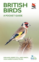 Vogelgids British Birds | Princeton University
A carefully designed and lavishly illustrated photographic guide This innovative and carefully designed photographic guide provides a concise introduction to the identification of the 246 birds most likely to be …
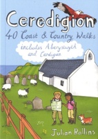 Wandelgids Ceredigion | Pocket Mountains
Handige compacte wandelgids met 40 dagwandelingen. Deze gids bevat kleine kaartjes en leuke uitgebreide informatie over wat er langs de route te zien is. Goede wandelkaarten zijn echter we noodzakelijk …
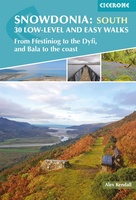 Wandelgids Snowdonia: South - Low-level and easy walks | Cicerone
Guidebook describing 30 walks in Snowdonia, Wales. Routes are mostly low level and on clear paths and showcase the region's beautiful scenery and rich history and culture. Part of a …
★★★★★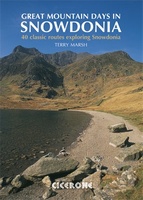 Wandelgids Great Mountain Days in Snowdonia | Cicerone
Een gids voor 40 geweldige bergwandelingen en klautertochten in Snowdonia. De inspirerende routes in dit groter formaat boek bevinden zich over het hele Snowdonia Nationaal Park en zijn onderverdeeld in …
 Pelgrimsroute Britain's Pilgrim Places | Lifestyle Press
Britain'sPilgrim Places captures thespirit of 2,000 years of history, heritage and wonder. It is the complete guideto every spiritual treasure, including 500 enchanting holy places throughoutEngland, Wales and Scotland and …
 Wandelgids 079 Pathfinder Guides Dee Valley, Clwydian Hills and North East Wales | Ordnance Survey
Fraaie, goed verzorgde wandelgidsjes met 28 wandelingen van max. een dag, (beginnend bij korte, eindigend bij langere wandelingen). Weergegeven op duidelijke topografische kaartjes (1:25.000). Bevat verder wetenswaardigheden en praktische informatie …
 Wandelgids 078 Pathfinder Guides Anglesey, Lleyn and Snowdonia | Ordnance Survey
Fraaie, goed verzorgde wandelgidsjes met 28 wandelingen van max. een dag, (beginnend bij korte, eindigend bij langere wandelingen). Weergegeven op duidelijke topografische kaartjes (1:25.000). Bevat verder wetenswaardigheden en praktische informatie …
 Reisgids Camping Road Trips: Britain | Bradt Travel Guides
Camping Road Trips UK showcases a personal selection of 30 road trips throughout the UK and Jersey (Channel Islands), all suitable for campervans, motorhomes, long-distance cyclists and any other road …
 Reisgids Experience Wales | Lonely Planet
De nieuwste reisgidsen-serie van Lonely Planet: een luxe uitgave met als titel 'Experience... ' waarin aandacht voor de belangrijkste niet te missen hoogtepunten van het land. Ook hier wordt het …
 Reisgids South Wales - Zuid Wales | Bradt Travel Guides
Voor vele landen net zo goed, zo niet beter dan de Planet. Beduidend soberder uitgevoerd, maar ook met veel informatie voor backpackers en met veel kaartmateriaal. Een aanrader! This new …
 Reisgids Op roadtrip in Europa | Uitgeverij Zout
In Op roadtrip in Europa vind je 25 kant-en-klare routes in Europa die leuk zijn voor kinderen én hun ouders. Want hoe vind je tussen het grote aanbod de …
Laatste reviews

Deze kaarten gebruik ik om mooie wandelingen uit te zetten, die ik dan met mijn liefste meisje beloop. Dank u wel voor de snelle adequate …
★★★★★ door Jacques Marks 03 december 2024 | Heeft dit artikel gekocht
Ook ik ben een zwerver, maar gelukkig niet dakloos. Deze kaarten gebruik ik om mooie wandelingen uit te zetten, die ik dan met mijn liefste …
★★★★★ door Jacques Marks 03 december 2024 | Heeft dit artikel gekocht
Perfect👍
★★★★★ door Wilma & Mari 03 december 2024 | Heeft dit artikel gekocht
Vooralsnog ben ik tevreden met de kaart. Hij werd vlot bezorgd en ik kan hem goed lezen. De echte proof of the pudding vindt echter …
★★★★★ door Jan Piebe Tjepkema 03 december 2024 | Heeft dit artikel gekocht