
Noord Ierland
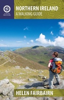 Wandelgids Northern Ireland | The Collins Press
This guide covers best walking routes from the mountains of Mourne to the Giant's Causeway and from Fermanagh's 'lake district' to the rolling Sperrins. The routes range from two hour …
★★★★★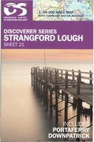 Topografische kaart - Wandelkaart 21 Discovery Strangford Lough | Ordnance Survey Ireland
Zeer gedetailleerde topografische kaart met een aantal toegevoegde toeristische symbolen voor bijv. Bezienswaardigheden en campings. Met hoogtelijnen, mooi kleurgebruik en ingetekende fietsroutes.
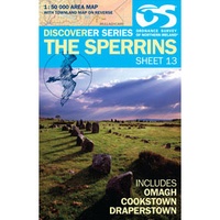 Wandelkaart 13 Discoverer The Sperrins | Ordnance Survey Northern Ireland
Zeer gedetailleerde topografische kaart met een aantal toegevoegde toeristische symbolen voor bijv. Bezienswaardigheden en campings. Met hoogtelijnen, mooi kleurgebruik. Key Features: Each map covers an area of 40km x …
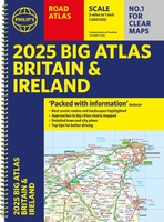 Wegenatlas Big Atlas Britain & Ireland 2024 A3-Formaat | Philip's Maps
Goede gedetailleerde wegenatlas van Groot-Brittannië, schaal 1:200.000 met een overzichtskaart van Ierland, schaal 1:1.000.000. Groot formaat, A3, en in ringband. 'Good balance between detail and clarity with excellent town maps' …
★★★★★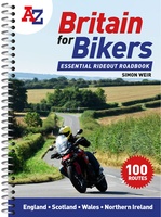 Wegenatlas Britain for Bikers | Voor Motoren | A-Z Map Company
Discover the best biking routes around Great Britain and Northern Ireland. Your essential rideout roadbook covering the best biking routes around Great Britain and Northern Ireland, including short trips and …
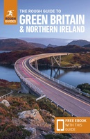 Reisgids Green Britain & Northern Ireland | Rough Guides
Een kleinere versie van de grotere versies van de Rough Guides. Als altijd weer vol met goede informatie over cultuur en praktische zaken. Achterin kleine plattegronden. Practical travel guide …
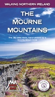 Wandelgids The Mourne Mountains | Knife Edge Outdoor
The only guidebook for the Mourne Mountains written by a County Down local hiker: 30 handpicked routes. The only guidebook for the Mourne Mountains with Real 1:25,000 Maps: this makes …
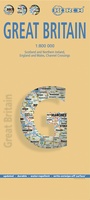 Wegenkaart - landkaart Groot - Brittannië | Borch
Mooie geplasticieerde kaart van Groot - Brittanië. Deze kaart biedt een goed overzicht van het land met detailkaarten. Our soft-laminated folded map of Great Britain shows: Scotland and Northern …
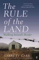 Reisverhaal The Rule of the Land | Faber & Faber
In the wake of the EU referendum, the United Kingdom’s border with Ireland has gained greater significance: it is set to become the frontier with the European Union. To …
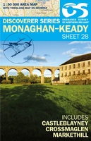 Wandelkaart 28 Discoverer Monaghan - Keady | Ordnance Survey Northern Ireland
Zeer gedetailleerde topografische kaart met een aantal toegevoegde toeristische symbolen voor bijv. bezienswaardigheden en campings. Met hoogtelijnen, mooi kleurgebruik Op deze kaart aanwezige plaatsen: Monoghan, Middletown, Keady, Newtownhamilton, Cullyhanna, …
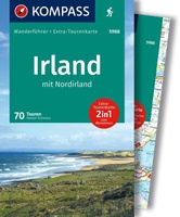 Wandelgids 5988 Wanderführer Irland und Nordirland - Ierland en Noord Ierland | Kompass
Goede Duitstalige wandelgids met heldere beschrijvingen van de wandeltochten. Met hoogteprofiel, kaartje en de benodigde praktische informatie als bijvoorbeeld de startlocatie met GPS coordinaten. De wandelingen zijn ingedeeld in zwaarte …
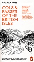 Fietsgids Cols and Passes of the British Isles
A col is the lowest point on the saddle between two mountains. Graham Robb has spent years uncovering and cataloguing the 2,002 cols and 105 passes scattered across the British …
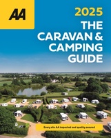 Campinggids The Caravan & Camping Guide Britain 2025 | AA Publishing
Uitgebreide gids met campings om met de tent of de caravan naar toe te gaan. 580 campings in Engeland, Schotland, Noord-Ierland, Wales, Kanaaleilanden, Isle of Man en de Schotse eilanden. …
★★★★★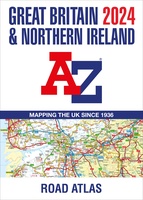 Wegenatlas Great Britain and Northern Ireland Road Atlas 2024 | A-Z Map Company
A full-colour, paperback road atlas of Great Britain, now fully revised and updated. Clear detailed road mapping at a scale of 3.5 miles to 1 inch. Presented in a large, …
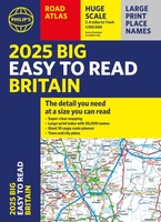 Wegenatlas Philip's Easy to Read Road Atlas of Britain 2025 | A3-Formaat | Paperback | Philip's Maps
With the detail you need at a size you can read, the latest edition of 2025 Philip's Big Easy to Read Road Atlas of Britain is super-clear, super-sized and bang …
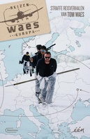 Reisverhaal Reizen Waes Europa | Manteau
In Reizen Waes Europa blijft Tom Waes dichter bij huis en laat hij zien dat je niet naar de andere kant van de wereld hoeft te reizen om onweerstaanbare, fascinerende, …
 Wegenkaart - landkaart Ireland North ( Ierland ) | Ordnance Survey Ireland
Hele duidelijke kaarten van een groot gebied: Ierland is in vieren gedeeld. Met alle noodzakelijke informatie, bijna topografisch van aard. Campings en bezienswaardigheden zijn er o.a. op terug te vinden! …
 Wegenatlas Big Road Atlas Britain and Northern Ireland 2025 | A3 | Ringband | Collins
Grote wegenatlas, a3-formaat in ringband. The ultimate 3.2 miles to 1 inch scale large-format, spiral-bound road atlas of Britain, featuring Collins’ popular and well established road mapping, and designed for …
★★★★★★★★★★ Wandelgids Northern Ireland : The Unmissable Hikes | Knife Edge Outdoor
The definitive guidebook for walking in Northern Ireland: 36 epic walks hand-picked by a County Down local. The only guidebook for Northern Ireland with real OSNI maps inside: this makes …
 Wandelgids Causeway Coast Way | Rucksack Readers
Uitgevoerd in de vorm van een klapper, met ringband geeft deze gids een goede beschrijving van de lange afstands route. De kaarten zijn schetsmatig maar wel duidelijk. The unspoiled Causeway …
Laatste reviews

Kan de huidige ontstuimige ontwikkelingen wereldwijd, nu ook geografisch plaatsen en daarmee beter volgen.
★★★★★ door Leo Janssen 20 december 2024 | Heeft dit artikel gekocht
We hadden Piëmonte al eens bezocht en voor onze komende reis werd ons door kennissen deze gids aanbevolen. Inderdaad is dit een heel goede gids. …
★★★★★ door DWKdB 19 december 2024 | Heeft dit artikel gekocht
Mijn bestellingen zijn altijd goed en worden altijd op tijd geleverd. Komen afspraken goed na. Erg tevreden.
★★★★★ door Ben Wegdam 19 december 2024 | Heeft dit artikel gekocht
Zeer gedetailleerde kaart van het zuidelijke deel van het douaniers pad
★★★★★ door Marian 18 december 2024 | Heeft dit artikel gekocht