Isle of Skye
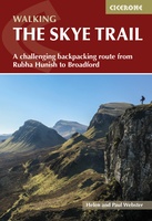 Wandelgids The Skye Trail | Cicerone
Guidebook to the Skye Trail, a challenging 80-mile (128km) trek that snakes its way north–south across the largest island in Scotland’s Inner Hebrides. This unofficial, week-long route is ideal for …
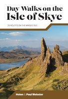 Wandelgids Day Walks on the Isle of Skye | Vertebrate Publishing
Day Walks on the Isle of Skye features 20 routes between 3.4 and 14.5 miles (5.5km and 23.3km) in length, spread across the Isle of Skye with one walk on …
★★★★★ Wandelgids 5990 Wanderführer Schottland - an den Küsten und in den Highlands - Schotland | Kompass
Goede Duitstalige wandelgids met heldere beschrijvingen van de wandeltochten. Met hoogteprofiel, kaartje en de benodigde praktische informatie als bijvoorbeeld de startlocatie met GPS coordinaten. De wandelingen zijn ingedeeld in zwaarte …
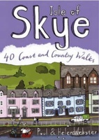 Wandelgids Isle of Skye | Pocket Mountains
The Isle of Skye (or Ant-Eilean Sgitheanach in its native Gaelic tongue) occupies an almost mythical place in the minds of many Scots. Romantic castles, magnificent sea-scapes, the alpine peaks …
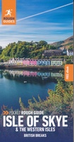 Reisgids Rough Guide Pocket Isle of Skye - the Western Isles | Rough Guides
Een kleinere versie in zakformaat van de grotere versies van de Rough Guides. Als altijd weer vol met goede informatie over cultuur en praktische zaken. Discover the best of Skye …
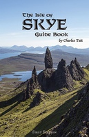 Reisgids Isle of Skye Guide Book | Charles Tait
The Isle of Skye is one of the most popular visitor destinations in Scotland and it was voted the fourth best island in the world by National Geographic. Being a …
★★★★★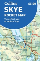 Wegenkaart - landkaart Pocket Map Skye | Collins
Handy little full colour Collins map of Skye with a high level of detail. Clear mapping of the Isle of Skye showing the road network, ferries and places of interest. …
★★★★★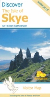 Wegenkaart - landkaart the isle of Skye | Footprint maps
Goede heldere overzichtskaart van het eiland Skye. Als wegenkaart prima te gebruiken, wandelroutes vind je er niet op terug. De wegen staan er duidelijk op ingetekend met wegnmmers en in …
★★★★★ Reisgids Inner Hebrides - Hebriden - Schotland | Bradt Travel Guides
Voor vele landen en streken net zo goed, zo niet beter dan de Planet. soberder uitgevoerd, maar ook met veel informatie voor backpackers en met veel kaartmateriaal. Een aanrader! Voor …
★★★★★★★★★★ Wandelkaart Skye The Cuillin | Harvey Maps
New Revised Edition and Format. More than a map, an essential piece of equipment this new generation HARVEY Superwalker is designed to be the most practical tool for navigation outdoors. …
 Reisgids Destination Skye | Destination Earth
Lose yourself in the myth and legend of the Isle of Skye. An island of rugged cliffs, towering mountains, and deep, mysterious lochs, the Isle of Skye is one of …
 Wandelkaart Skye Trotternish | Harvey Maps
Een bijzonder handige kaart van dit gebied. Op waterafstotend papier met veel details. Detailed map for walking, scrambling and climbing The Trotternish Ridge from Portree north. This map for …
 Reisgids Isle of Skye miniguide | Charles Tait
A new mini version of the very successfil Isle of Skye Guide Book designed for the short stay visitor. The book covers all of the main places to visit in …
Laatste reviews

Blij dat De Zwerver deze perfecte, franstalige IGN gidsen aanbiedt en dan óók met een woordenlijst erbij gevoegd. De voorbereiding kan beginnen na een vlotte …
★★★★★ door Lie van Schelven 06 januari 2025 | Heeft dit artikel gekocht
Voor een paar dagen Leipzig een prima reisgids. Het deel voor Dresden is aanmerkelijk groter maar was niet hinderlijk.
★★★★★ door J.A. Pazie 06 januari 2025 | Heeft dit artikel gekocht
Op reis in Botswana is deze kaart onmisbaar en vreselijk nuttig. Handig met tankstations. Snel thuisbezorgd.
★★★★★ door henk heeringa 06 januari 2025 | Heeft dit artikel gekocht
Zeer tevreden.
★★★★★ door R. Ahlers 06 januari 2025 | Heeft dit artikel gekocht


