Lowlands | Schotse Laaglanden en grenzen
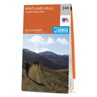 Wandelkaart - Topografische kaart 344 OS Explorer Map Pentland Hills | Ordnance Survey
Met zijn 4cm voor 1 km (2 ½ cm voor 1 mijl) schaal, is de OS Explorer kaartenserie de ideale en meest gedetailleerde kaartenreeks voor mensen die graag outdoor-activiteiten zoals …
★★★★★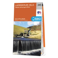 Wandelkaart - Topografische kaart 345 OS Explorer Map Lammermuir Hills | Ordnance Survey
Met zijn 4cm voor 1 km (2 ½ cm voor 1 mijl) schaal, is de OS Explorer kaartenserie de ideale en meest gedetailleerde kaartenreeks voor mensen die graag outdoor-activiteiten zoals …
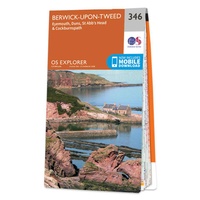 Wandelkaart - Topografische kaart 346 OS Explorer Map Berwick-upon-Tweed | Ordnance Survey
Met zijn 4cm voor 1 km (2 ½ cm voor 1 mijl) schaal, is de OS Explorer kaartenserie de ideale en meest gedetailleerde kaartenreeks voor mensen die graag outdoor-activiteiten zoals …
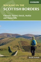 Wandelgids Walking in the Scottish Borders | Cicerone
This guidebook provides 45 day walks in the Scottish Borders. Separated into six sections, these walks are divided between the north and south Cheviots, Tweed, Ettrick, Moffat and Manor hills …
 Wandelkaart Southern Upland Way | Harvey Maps
Southern Upland Way is Britain's first official coast to coast long distance footpath and is one of Scotland's Great Trails. It runs 340km (212 miles) from Portpatrick on the south …
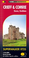 Wandelkaart Crieff & Comrie, Doune, Dunblane | Harvey Maps
Map covers the Munro, Ben Chonzie, popular Glen Artney, as well as the Braes of Doune and Doune Castle, which has featured in various film and television shows, such as …
 Wandelkaart Ochil Hills | Harvey Maps
Superwalker is designed to be the most practical tool for navigation outdoors. The format gives more mapping on the sheet without making the map heavy and bulky. The fold has …
 Wandelkaart Pentland Hills | Harvey Maps
The whole of the Pentlands on one side of one sheet. More than a map, an essential piece of equipment this new generation HARVEY Superwalker is designed to be the …
 Wandelkaart Cheviot Hills | Harvey Maps
Includes the Cheviot, Newton Tors and Kirknewton. Detailed map for hillwalkers and cyclists of the Cheviot Hills at 1:25,000 scale. Includes the northern section of the Pennine Way from Brownhart …
 Wandelkaart Pentland Hills | Harvey Maps
Covers a large area yet is handily compact. Pocket perfect!Detailed map for runners and walkers of the whole of the Pentlands at the magic scale of 1:40,000 on one side …
 Wandelkaart Ochil Hills | Harvey Maps
Pocket perfect! Well known hills are Dumyat, Ben Cleuch and Castle Craig Hill. Magnificent views over the Forth Valley. Places of interest and enlargements of the steep and narrow glens: …
 Wandelkaart Arran | Harvey Maps
Covers a large area yet is handily compact. Pocket perfect! Features the renowned Goat Fell, A'Chir ridge, Beinn Bharrain, Glen Sannox & Glen Rosa. Detailed map for runners …
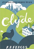 Wandelgids The Clyde | Pocket Mountains
Handige compacte wandelgids met 40 dagwandelingen. Deze gids bevat kleine kaartjes en leuke uitgebreide informatie over wat er langs de route te zien is. Goede wandelkaarten zijn echter we noodzakelijk …
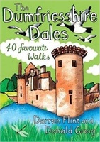 Wandelgids The Dumfriesshire Dales | Pocket Mountains
Handige compacte wandelgids met 40 dagwandelingen. Deze gids bevat kleine kaartjes en leuke uitgebreide informatie over wat er langs de route te zien is. Goede wandelkaarten zijn echter we noodzakelijk …
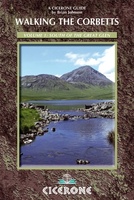 Wandelgids 1 Walking the Corbetts: Volume 1 | Cicerone
Uitstekende wandelgids, goed beschreven met veel praktische informatie om de route te kunnen lopen, inclusief redelijke kaarten. This guide describes routes up all 112 Corbetts south of the Great Glen. …
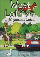 Wandelgids West Lothian | Pocket Mountains
Handige compacte wandelgids met 40 dagwandelingen. Deze gids bevat kleine kaartjes en leuke uitgebreide informatie over wat er langs de route te zien is. Goede wandelkaarten zijn echter we noodzakelijk …
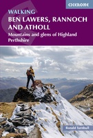 Wandelgids Walking Ben Lawers, Rannoch and Atholl | Cicerone
Wandelgids met 80 wandelingen van verschillende niveaus in het gebied van de Perthshire Highlands. The south-eastern Grampians of the former county of Perthshire may be grassier and less rugged than …
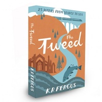 Wandelgids The Tweed | Pocket Mountains
Handige compacte wandelgids met 40 dagwandelingen. Deze gids bevat kleine kaartjes en leuke uitgebreide informatie over wat er langs de route te zien is. Goede wandelkaarten zijn echter we noodzakelijk …
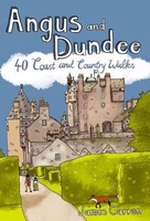 Wandelgids Weekend Walks Angus And Dundee | Pocket Mountains
Angus is the historical heartland of Scotland, a county where the past has left an indelible mark on the present. Prehistoric forts, ancient castles and Pictish standing stones dot a …
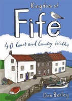 Wandelgids Weekend Walks Kingdom of Fife | Pocket Mountains
Following on from the new "Pocket Mountains Town and Country" series of shorter walks, this guidebook explores the stunning coast and countryside of the Kingdom of Fife.Featured here you'll find …
Laatste reviews

Heb de gids cadeau gedaan en die persoon was er heel blij mee ..
★★★★★ door J 21 november 2024 | Heeft dit artikel gekocht
De kaart van Kirgystan is prachtig, zeer gedetailleerd. Kan niet wachten tot de we echt op reis hmgaan die kant op.
★★★★★ door Marijke Eering 21 november 2024 | Heeft dit artikel gekocht
Super handig fiets boekje en mooi water bestendig. En handig om op de kaarten te kijken heel duidelijk beschrijving. Wij fietsen al jaren in Duitsland …
★★★★★ door Jenneke holterman 19 november 2024 | Heeft dit artikel gekocht
prima kaart levering en betaling allemaal vlot verlopen
★★★★★ door Marc Buts 19 november 2024 | Heeft dit artikel gekocht


