Mandje Tel: +31503126950 Menu
Winkelwagen
Geen items in winkelwagen
Ga naar winkelwagen

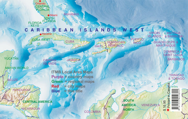
Wegenatlas Travel Atlas Caribbean Island West Half | ITMB (9781553419891)

  • ISBN / CODE: 9781553419891
  • Editie: 2013
  • Aantal blz.: 154
  • Uitgever: ITMB
  • Soort: Wegenatlas
  • Serie: Travel Atlas
  • Taal: Engels
  • Uitvoering: -
  • Bindwijze: Paperback
  • Schrijf als eerste een review
  • 16,50

    Op voorraad. Binnen 2 - 3 werkdagen in huis in Belgie Levertijd Nederland Voor 17.00 uur op werkdagen besteld, morgen in huis in Nederland Levertijd Belgie

    Gratis verzending in Nederland vanaf €35,-

Beschrijving


Wegenatlas voor de westelijke Caraïbische eilanden - verschillende schalen : Bahamas, Turks- en Caicoseilanden, Cuba, Kaaimaneilanden, Jamaica, Dominikaanse Republiek, Puerto Rico. Met inzetjes van Freeport, Nassau, Havana, Varadero, Georgetown, Kingston, Port-au-Prince, Santo Domingo, San Juan
 
The Caribbean is a particularly difficult part of the world to map effectively. It is a combination of larger islands in the west and a string of small islands in the east. Some can be shown as separate maps, but others are too small (or too lacking in market appeal) to be mapped adequately as folded paper maps. This atlas covers the Bahamas and the Turks and Caicos Islands in the north with Cuba, the Cayman Islands, Jamaica, the Dominican Republic, and Puerto Rico in scales ranging from 1:18,000 for Puerto Rico to 1:600,000 for Cuba The atlas is the same size as all ITM atlases (8''x5'' or 21x13.5cm) and has a straight spine edge with title for displaying spine outwards on store shelves, if desired. Essentially, this atlas covers six different areas mapped by ITMB folded maps and adds the Turks area. Inset maps of Freeport, Nassau, Havana, Varadero, Georgetown, Kingston, Port Au Prince, Santo Domingo, and San Juan are included. The level of detail is identical with ITM's folded maps; this is a marketing concept for those wishing the convenience of information in a convenient book format, with no loss of detail.
 
Legend Includes:
Roads by classification, International Boudaries, Time Zone Border, Points of interest, Historic site, Hotels, Museums, Golf courses, Restaurants, Caves, Lighthouses, Gas Stations, Waterfalls, Hotsprings,Hospitals, Historical Sites, Tourist information, Mountain Peaks, Churches,Schools, Embassies,Shipping Centers, Banks,Railway Stations, Bus Terminals, Police Station,Universities, Post Offices,Ferries, Parkings and much more

Reviews

Geen reviews gevonden voor dit product.

Schrijf een review

Graag horen wij wat u van dit artikel vindt. Vindt u het goed, leuk, mooi, slecht, lelijk, onbruikbaar of erg handig: schrijf gerust alles op! Het is niet alleen leuk om te doen maar u informeert andere klanten er ook nog mee!